Livonia
Temperate farmland, villages and a river in the north, dense forest in the south, and a small airfield. Plan operations on this 12.8 km Arma 3 map in TacOps.
Map tiles updated
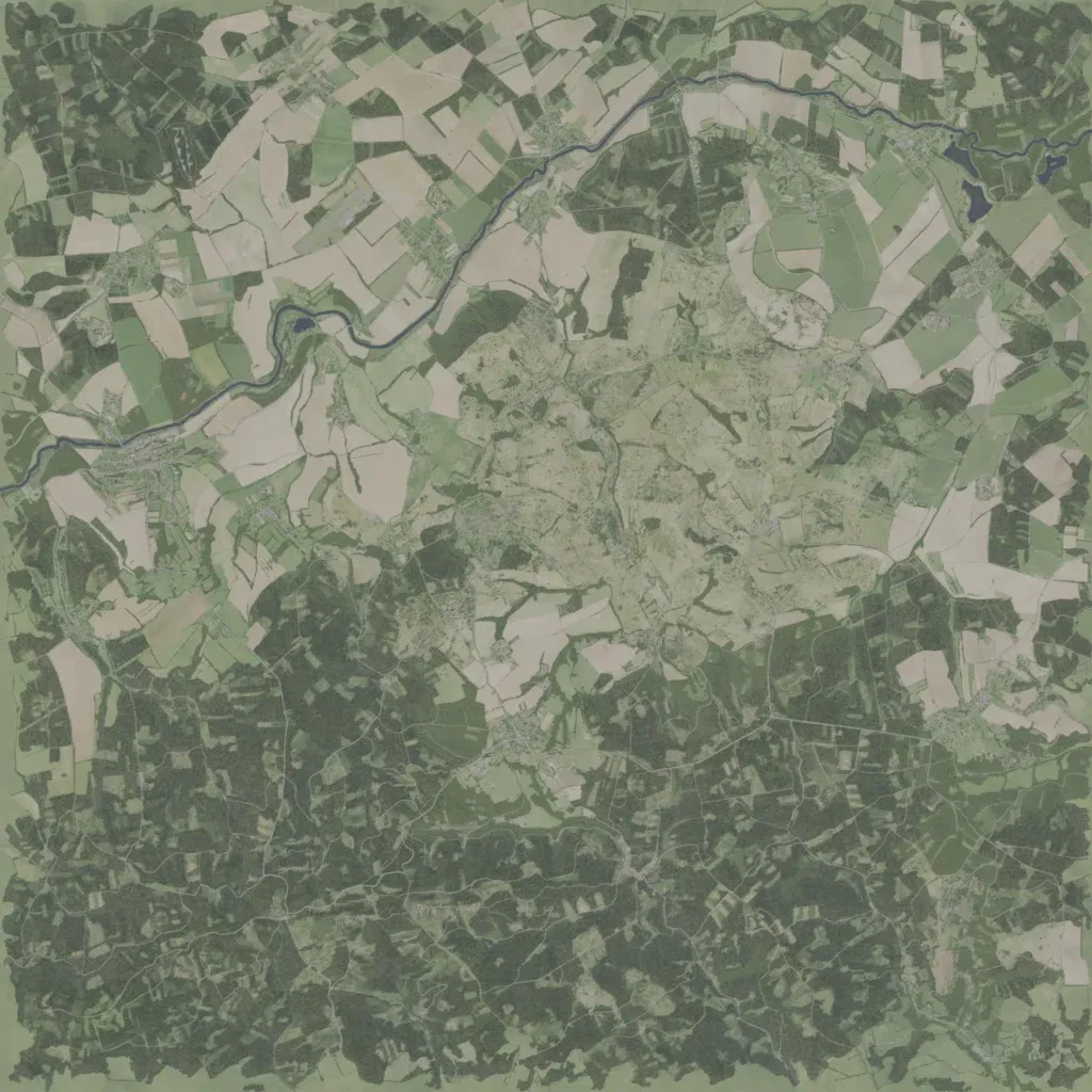
A 12.8 km square of temperate farmland and forest, rising to 440 m. A river runs from the west edge across the north, past small lakes in the north-east. Field patchwork and villages fill the north; dense forest laced with tracks covers the south. The centre is open ground dotted with buildings. Points of interest include 5 cities, 47 localities, 40 military sites and Lukow Airfield. Roads total about 459 km. No imagery gaps or empty areas are visible. Suits infantry and vehicle operations across woods, fields and villages.