Weferlingen
Rolling farmland patchwork with large forest blocks, many small villages, a dense road network and no open water. Plan operations on this 20.5 km Arma 3 map in TacOps.
Map tiles updated
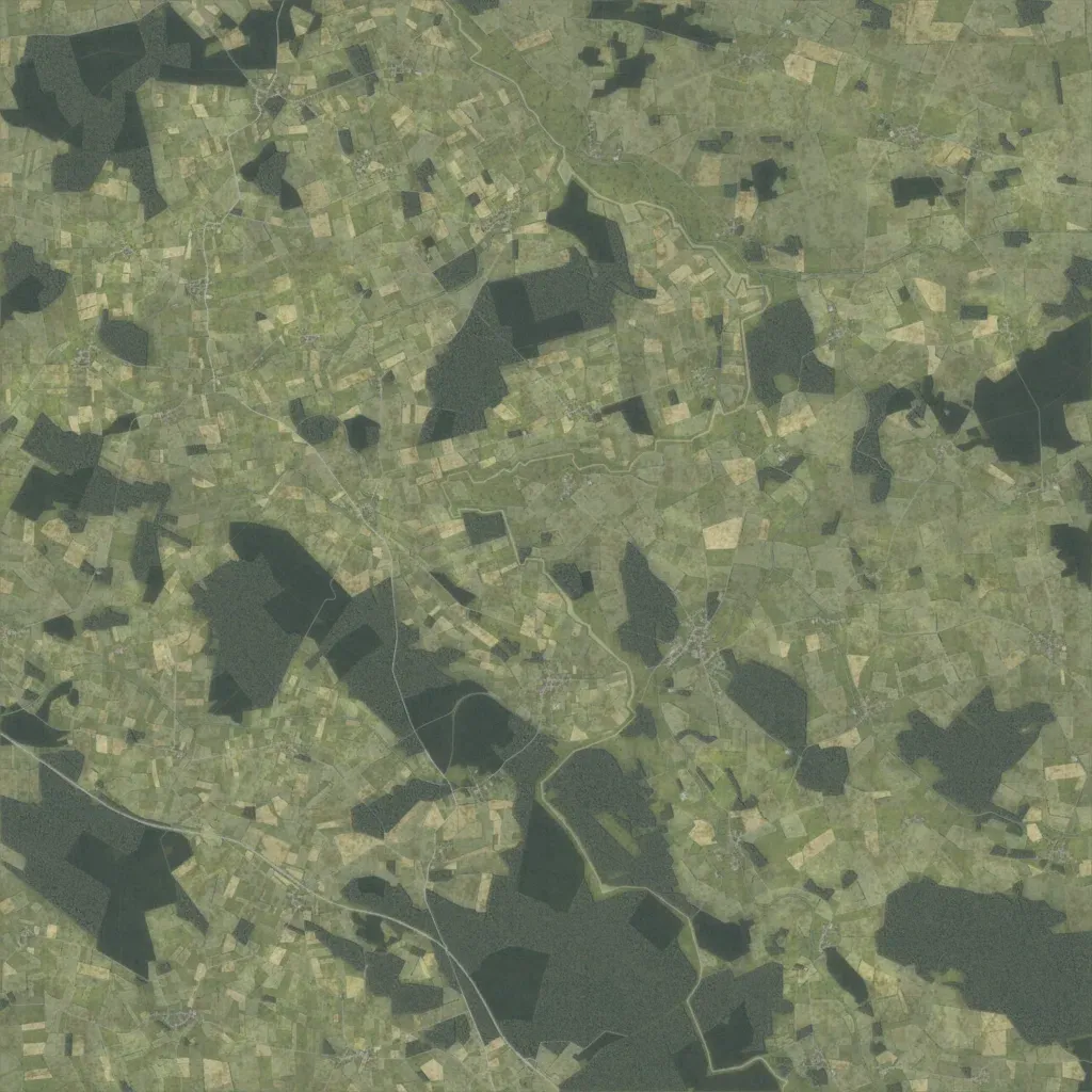
The 20.5 km square map is a patchwork of small fields and large forest blocks, heaviest in the south. Elevation ranges from 60 to 200 m, giving gently rolling ground. Small villages are spread across the whole map, with 39 named localities and about 5,300 buildings. About 867 km of roads, from main routes to farm tracks, connect them. The map has no lakes or open water. Ground imagery covers the whole map with no gaps. It suits mechanised operations across open fields, with woods for infantry cover.