Weferlingen (Winter)
Snowy, gently rolling farmland with scattered forest blocks and many small villages linked by roads and farm tracks. Plan operations on this 20.5 km Arma 3 map in TacOps.
Map tiles updated
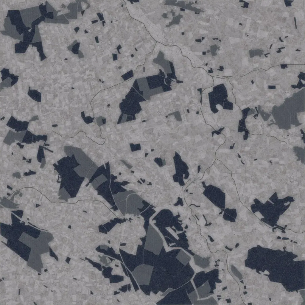
This 20 km map is mostly snow-covered farmland in small fields, with dark forest blocks, largest in the south. Elevation ranges only 60 to 200 metres. The overlays list 10 towns and 39 named localities, including Grasleben, Bahrdorf and Mariental, with about 5,300 buildings. Roads link the villages, with farm tracks between fields, about 867 km in total. No lakes or water bodies are mapped. Ground imagery covers the whole map with no visible gaps. It suits mechanized and infantry operations across open winter ground.