Maksniemi
Flat forested coast with a southern sea bay, islands, a northeast airfield and a roadside town on an 11 km map. Plan operations on this 11.3 km Arma 3 map in TacOps.
Map tiles updated
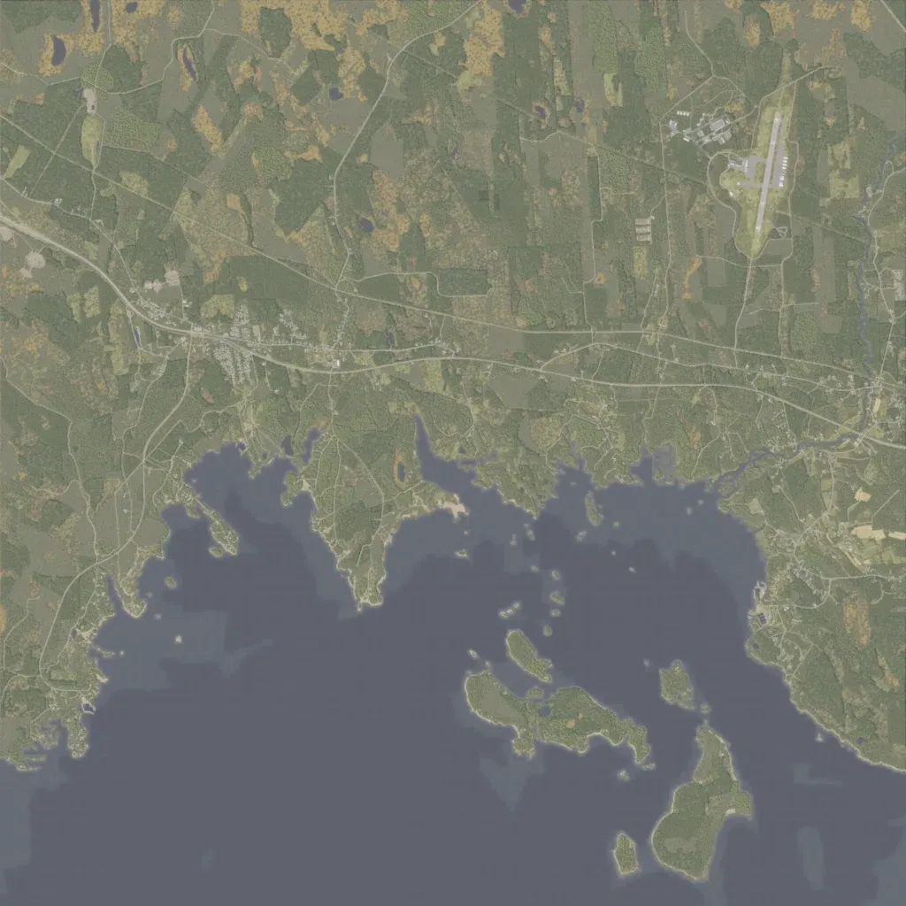
Flat coastal country of mixed forest, fields and yellow-brown open patches, with contours only between 10 and 20 m. A main road runs west to east across the middle, passing a town in the west-centre, and a dense web of minor roads and tracks covers the land. An airfield with a north-south runway sits in the northeast. The southern part opens onto a sea bay with peninsulas and several forested islands, and small lakes dot the north. It suits mechanised, airmobile and amphibious operations.