Malden 2035
Hilly island of dry grass, scrub and rocky outcrops with small villages, a coastal airfield and offshore islets. Plan operations on this 12.8 km Arma 3 map in TacOps.
Map tiles updated
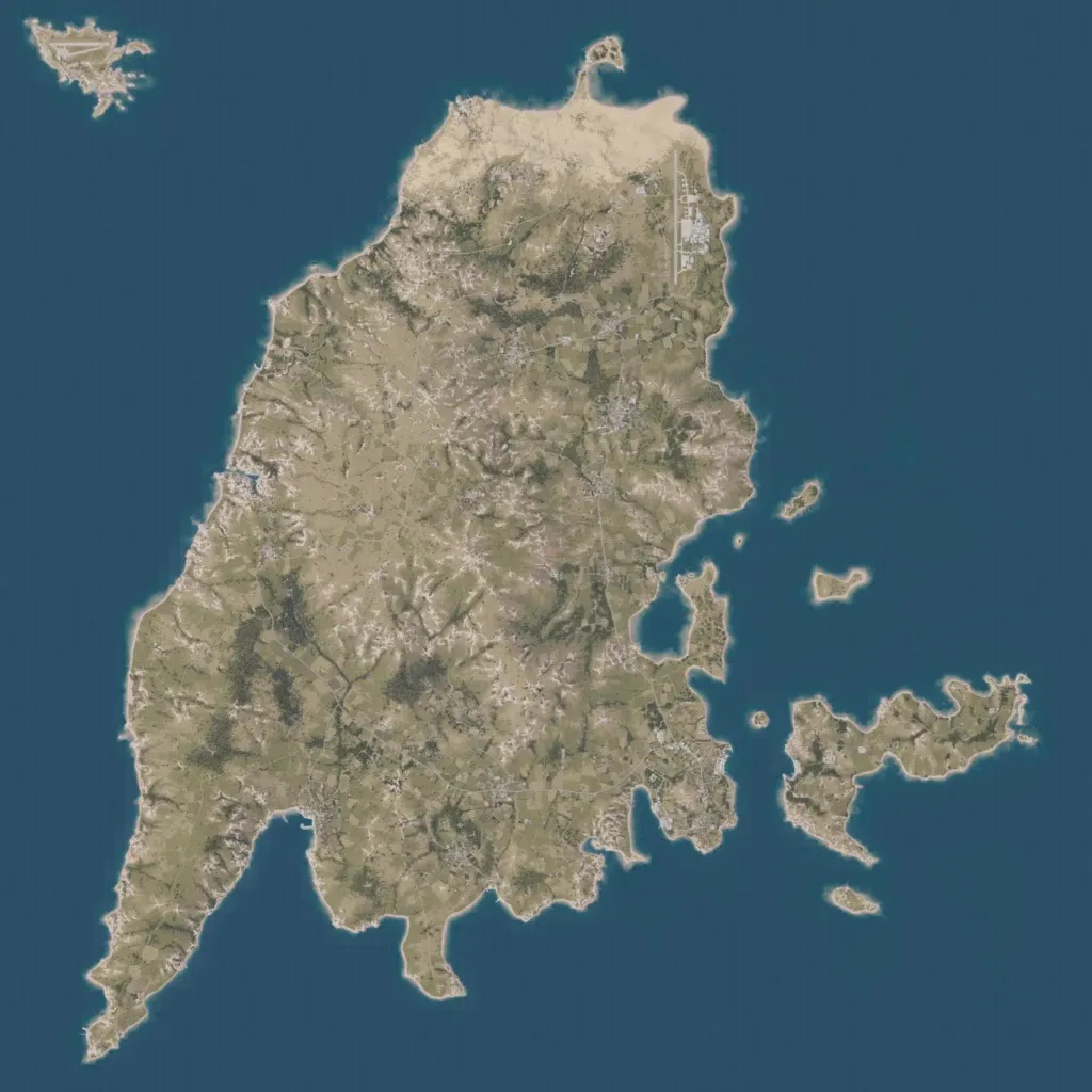
A 12.8 km map centred on one large hilly island of dry grass, scrub, rocky outcrops and darker woodland patches, with smaller islands to the east and an islet to the northwest. A long paved runway with hangars runs along the northeast coast. Small villages and farm plots are spread across the island, joined by about 120 km of roads and tracks. Ground imagery covers all the land, with no empty or placeholder areas seen. It suits infantry, mechanized and air-mobile operations.