Mortain
Hedged farmland with a small central town, scattered hamlets, orchards and woods in the southeast. Plan operations on this 8.2 km Arma 3 map in TacOps.
Map tiles updated
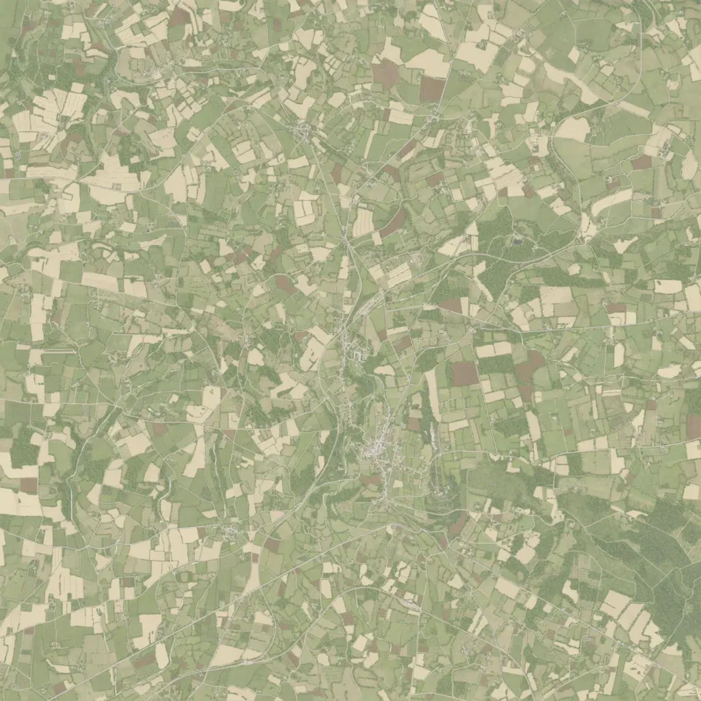
An 8 km square of patchwork farmland divided by thousands of field boundaries, with elevation from 100 to 320 m. A small town sits south of the centre, with many scattered farm hamlets and orchards across the rest of the map. Woodland is heaviest in the southeast. Over 330 km of mostly minor roads and tracks link the farms. The map labels 28 water features but shows no lakes. Ground imagery covers the whole map, with no blank areas. It suits infantry and armour fighting across hedged fields between villages.