Normandy
Low farmland of small hedged fields, one town in the northeast, scattered villages and dense country lanes. Plan operations on this 12.3 km Arma 3 map in TacOps.
Map tiles updated
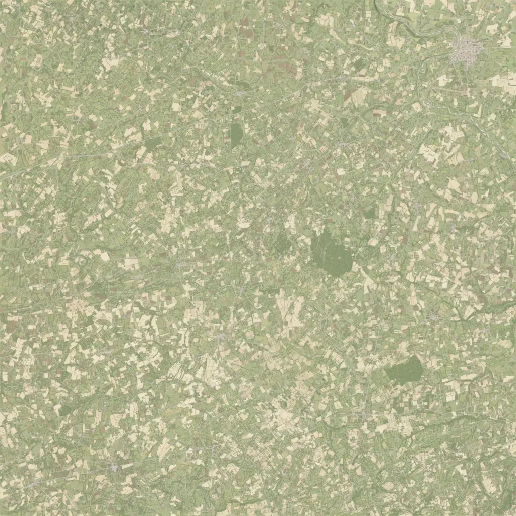
A 12.3 km square of low farmland between 10 and 130 m elevation, cut into small fields by walls and hedgerows. One town sits in the northeast, with small villages and farms scattered across the rest of the map. About 966 km of roads, mostly narrow lanes, link them. Woodland is limited to a few small forests near the centre and southeast, and there is no sea or lake. Ground imagery covers the whole map with no visible gaps. The close terrain suits infantry and small-unit fighting from hedge to hedge.