Gabreta
Rolling temperate forest about 16 km across, with scattered villages, a river, an airstrip, and a lake in the southeast. Plan operations on this 15.9 km Arma 3 map in TacOps.
Map tiles updated
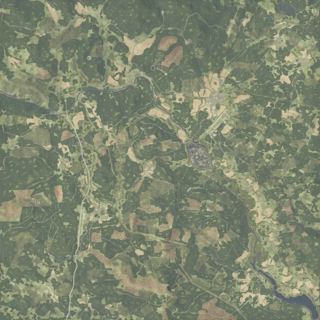
Mostly dense temperate forest with meadows and fields, rising to 490 m across a 15.9 km square. A river crosses the north from the west, then flows southeast to a lake in the southeast corner. Villages and farms are scattered throughout, with a larger town beside an airstrip north-east of centre. About 536 km of roads link them, including a north-south main road in the west and many forest tracks. Ground imagery covers the whole map with no empty areas seen. Suits infantry and light vehicle operations in forest.