Charons Garden
Rocky 8 km upland of granite outcrops, scrub woodland and open prairie, with few buildings and a sparse road grid. Plan operations on this 8.2 km Arma Reforger map in TacOps.
Map tiles updated
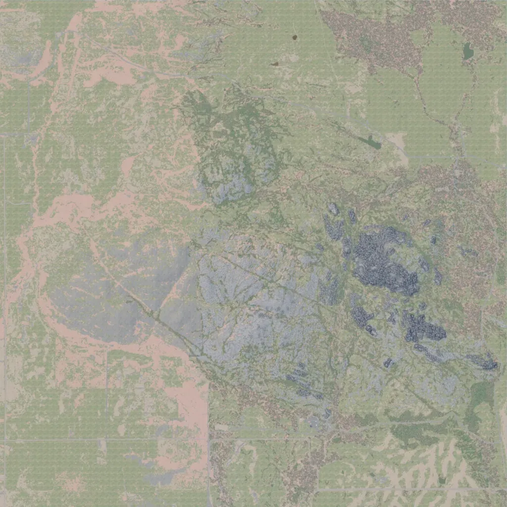
An 8 km map of granite outcrops across the centre and east, rising from 430 to 690 m. Open prairie with bare soil covers the west and south, with scrub woodland in clumps. Buildings are few, about 50, at small sites such as Reed Ranch. 68 km of roads include straight grid roads in the west and south. It has 76 water bodies, 10 of them named. Suits infantry fighting from rock cover across open ground. The author bases it on Oklahoma's Wichita Mountains and calls it a work in progress.