Curillo Caqueta
Dense jungle split by a wide winding river, with scattered compounds, a police base and dirt tracks. Plan operations on this 7.4 km Arma Reforger map in TacOps.
Map tiles updated
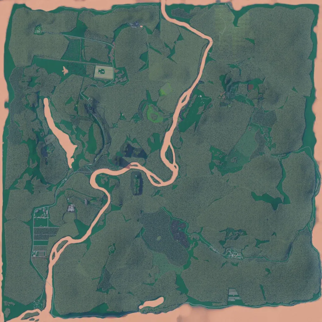
The 7.4 km map is nearly all dense jungle, 10 to 460 m in elevation. A wide tan-coloured river winds from the north edge through the centre to the southwest corner, with a long lake to its west. Its 658 buildings sit in small clearings and compounds, not towns, including a national police base and Gustavo. About 87 km of roads and tracks link them. A bare tan strip rings the map edge. The author says it is inspired by Curillo, Caquetá, still being updated, and meant for infantry patrols and combat.