Fur Island
Farmland island with forest patches and villages, facing an untextured grey mainland across a strait to the south. Plan operations on this 8.2 km Arma Reforger map in TacOps.
Map tiles updated
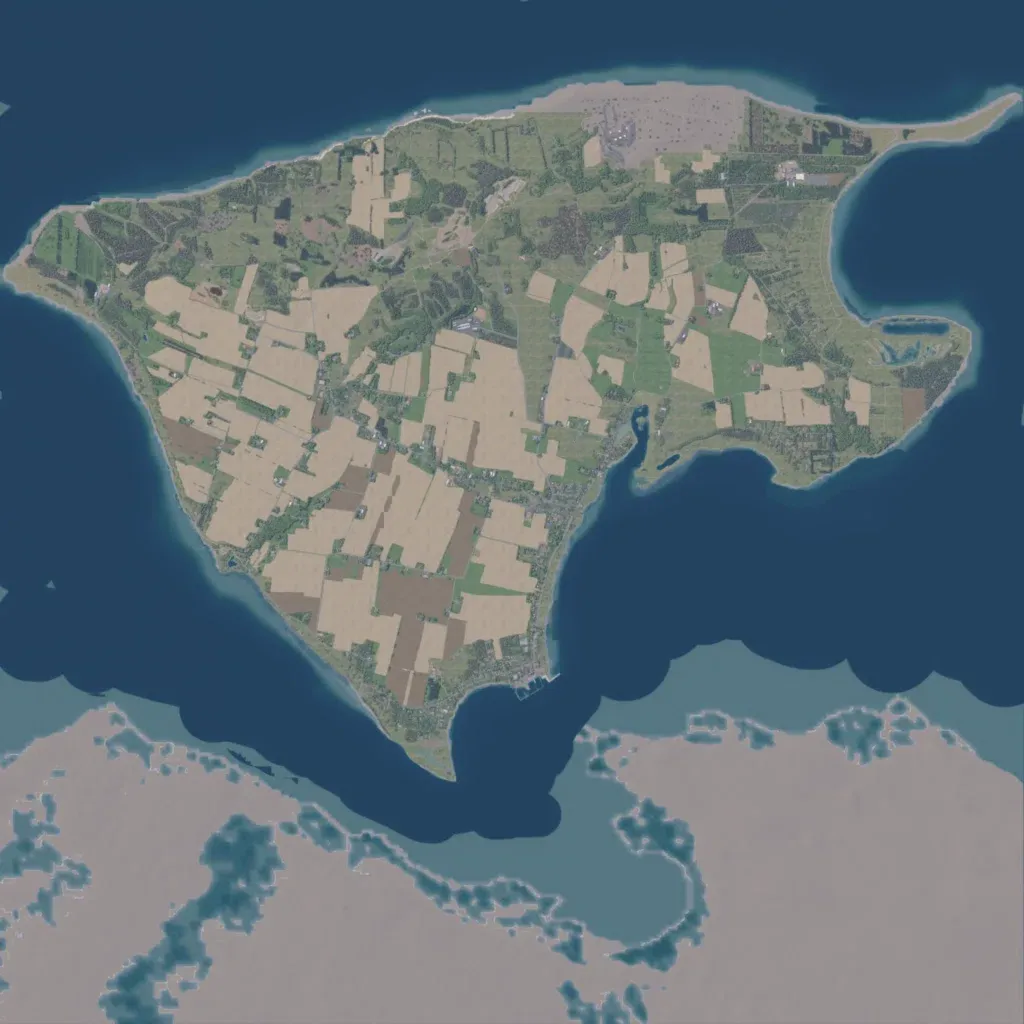
Patchwork farm fields, hedgerows and scattered forest cover the island, with a bay cutting into its east side. Localities include Debel, Hvirp, Nederby and Stenore, with an open pit on the north coast and a small harbour on the southeast shore. About 130 km of roads, mostly minor, serve 2,209 buildings. The author calls it a work-in-progress 1:1 recreation of the Danish island of Fur. The mainland across the southern strait is flat, untextured grey ground with nothing placed. Suits infantry and light vehicle operations across open fields, plus beach landings.