Iraq Map
Flat 6.4 km desert map with a river, several walled towns, highways and an airstrip. Plan operations on this 6.4 km Arma Reforger map in TacOps.
Map tiles updated
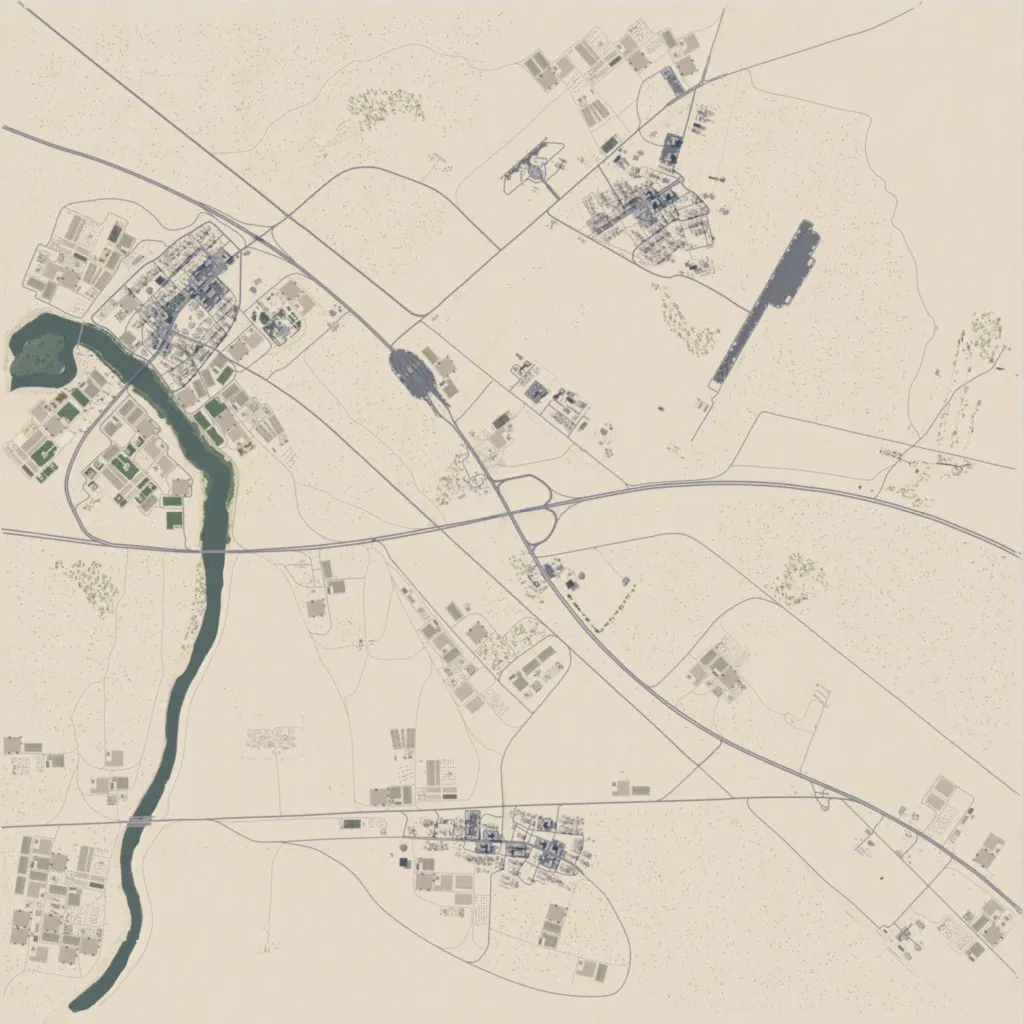
The author presents it as Iraq. This 6.4 km square is flat sandy desert, between 30 and 50 m elevation. A river runs south from the west side to the southwest corner, with the largest town beside it. Smaller towns sit in the northeast and south-centre, with walled compounds scattered between. Highways cross diagonally and east to west, and an airstrip lies in the northeast. Wide stretches of open desert are empty, and town labels are placeholder names like 'Maplable'. It suits convoy, airfield and town-clearing operations.
