Isla Fernandina
Volcanic island with a central caldera, bare lava flows and grassy slopes, about 100 km of roads and no buildings. Plan operations on this 8.2 km Arma Reforger map in TacOps.
Map tiles updated
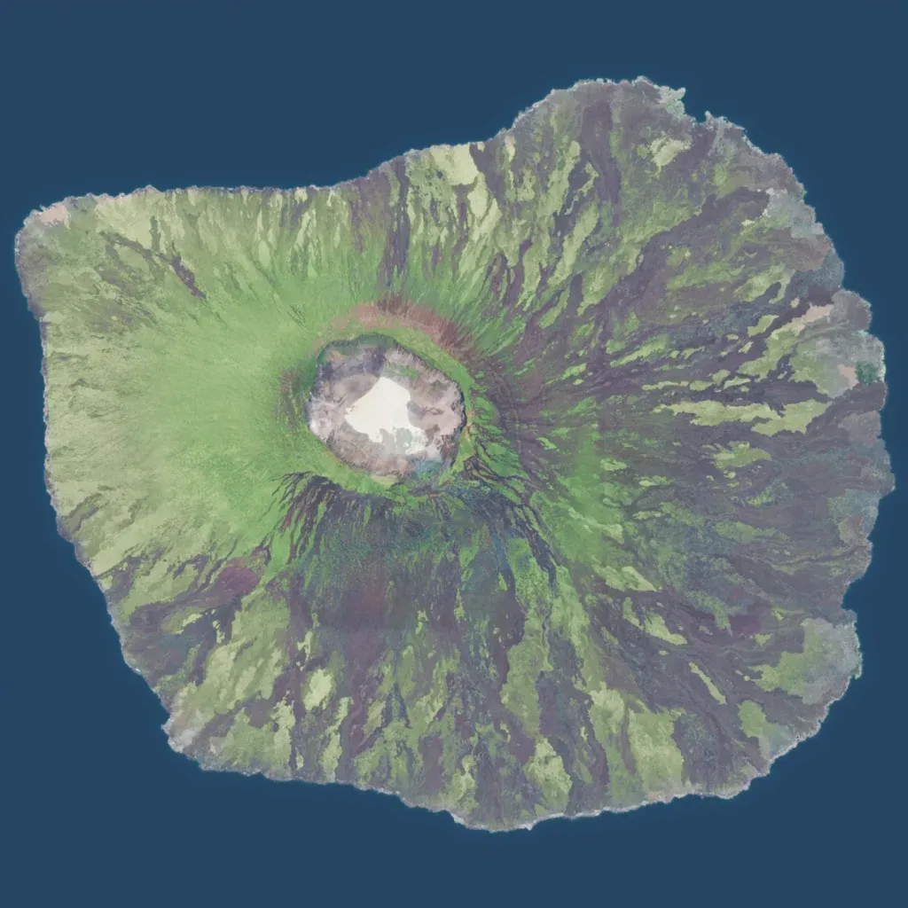
An 8 km island rising from the sea to about 570 m, with a wide caldera just northwest of centre. Dark lava flows streak the flanks between open grass patches; there is no jungle or forest. About 102 km of roads and tracks cross it, but no buildings, settlements or points of interest are placed. The author says it recreates Fernandina in the Galápagos and plans settlements in later updates. Open slopes with long sight lines suit infantry and vehicle maneuver rather than town fighting.