ITC Catterick
Open grassland, field walls and conifer plantations around small army camps on a 7 km training area. Plan operations on this 7.2 km Arma Reforger map in TacOps.
Map tiles updated
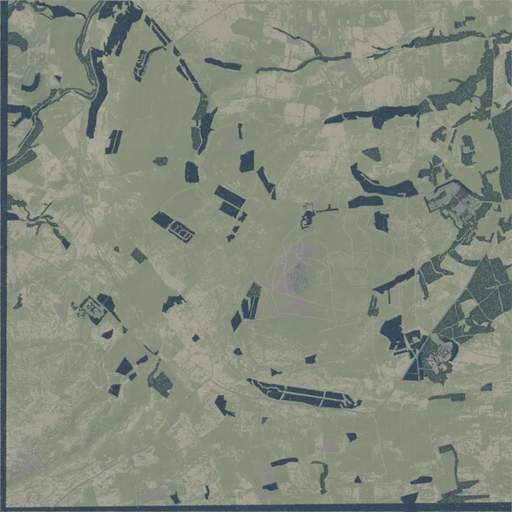
The author describes it as an approximation of Infantry Training Centre Catterick, built for British Army-style exercises. Rolling grassland from 10 to 220 m is divided by field walls and dotted with dark conifer blocks, with denser woodland along the east edge. Named sites include Wathgill Camp, Alma Lines, Megiddo Lines, FOB Thatcher and a 25m Range; its 149 buildings sit in small compounds. Its 39 roads total 27 km; a winding stream crosses the northwest, and there are no lakes. Wide open fields suit patrols, fieldcraft and assaults.