Kamensky District
Unfinished 8 km hill map of pale gridded ground, eastern forest, a large north-eastern bay and military sites. Plan operations on this 7.9 km Arma Reforger map in TacOps.
Map tiles updated
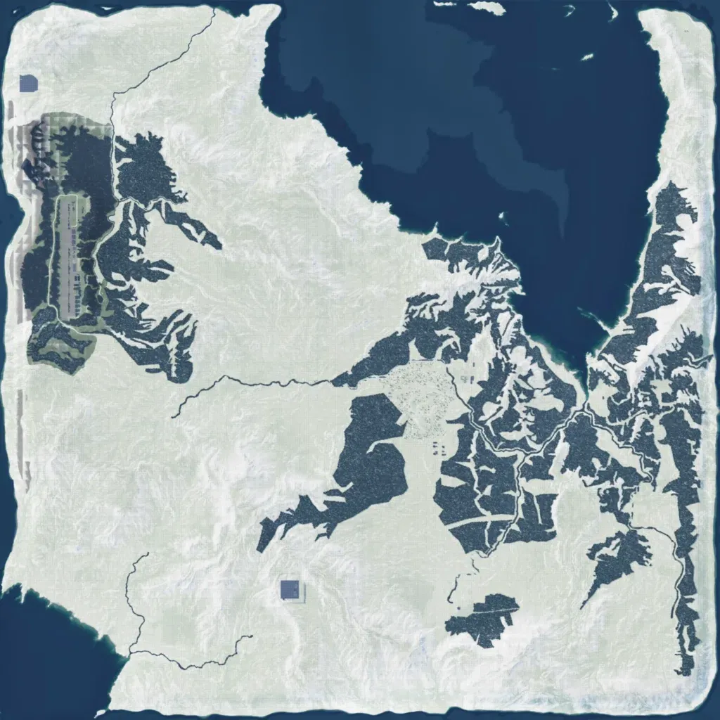
About 7.9 km across, the map has hills from 10 to 450 m and a large bay in the north-east. Forest covers much of the east and centre; the west and south are mostly open. Most ground is pale, faintly gridded and empty, like placeholder terrain. It has 112 buildings and about 21 km of roads, with a compound on the west edge. Named sites include Allak, Myski, Obskoye, a power plant, two military bases and a military airfield. The author calls it a mostly fictional map in early development. It suits small forest patrols.