Karaba
Flat 7 km desert map with walled farm plots and villages in the north and open sand across the south. Plan operations on this 7.2 km Arma Reforger map in TacOps.
Map tiles updated
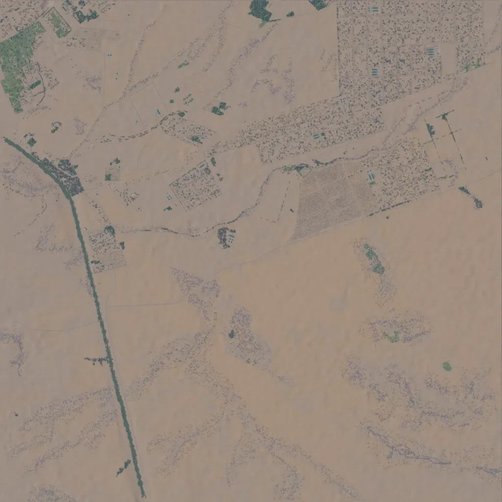
The author describes it as a fictional country loosely based on farmland in Morocco and Algeria. The 7.2 km square map is nearly flat, with elevations between 960 and 1030 m. The northern half holds walled farm plots, about 1,700 buildings and 12 named localities. The southern half is mostly bare sand with scattered scrub and little else placed. There are 130 km of roads, 43 springs and 89 small water bodies. It suits small-unit raids and patrols over long, open sightlines.