Kostyantynivka Ukraine
Flat 8 km farmland of circular and square fields, dense forest blocks and small scattered towns. Plan operations on this 8.2 km Arma Reforger map in TacOps.
Map tiles updated
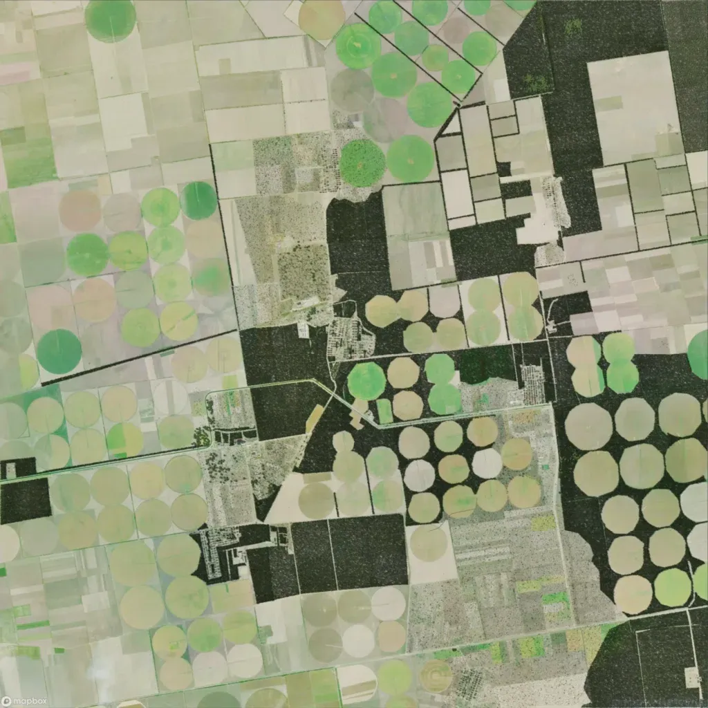
The 8.2 km map is nearly flat, between 50 and 60 m. Most ground is open circular and rectangular farmland, broken by large dense forest blocks in the north-east, centre and south-east. About 770 buildings sit in small towns and villages across the middle and south, linked by 131 roads totalling 90 km. Water is limited to two water bodies. The wide fields have blurry ground texture and nothing placed on them. The author says it loosely recreates Kostyantynivka, Ukraine. It suits armour and infantry across open fields.