McCrady Training Center
Dense forest cut by firebreak trails, with a military camp in the southeast and roads along the east and south edges. Plan operations on this 7.2 km Arma Reforger map in TacOps.
Map tiles updated
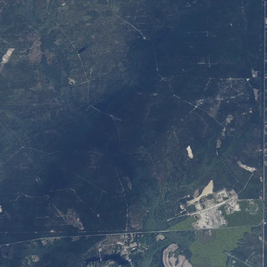
Dense forest covers nearly the whole 7 km map, cut by straight firebreak trails. A military camp with long buildings sits in the southeast. Scattered buildings also lie near the south edge. A straight road runs north to south along the east edge, and another crosses the south. Mapped roads total about 7.5 km, with three mapped water bodies. It suits infantry woodland exercises. The author calls it the McCrady Combat Training Center east of Columbia, South Carolina, and an unfinished test scene.