Monte Grappa
Forested mountains with open central pastures, a small hamlet and a village in the south-east corner. Plan operations on this 7.2 km Arma Reforger map in TacOps.
Map tiles updated
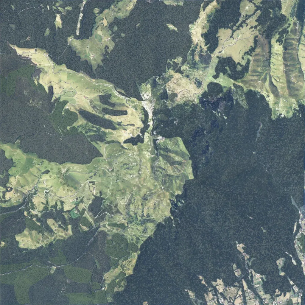
Mountain terrain, 7.2 km square, from 340 m to 1,770 m. Dense forest covers much of the east and north, while open pastures spread across the centre and west. A small hamlet sits on a saddle north of centre, and a village with a road grid occupies the south-east corner. Winding tracks and minor roads total about 114 km. The map data lists 112 water bodies. Suits infantry and light-vehicle operations along forested slopes and open ridges. The author calls it a work-in-progress Monte Grappa in the Venetian pre-Alps.