Operation Repulse
Rolling bush country with farm fields, dirt tracks, a town and an airfield, about 6.4 km across. Plan operations on this 6.4 km Arma Reforger map in TacOps.
Map tiles updated
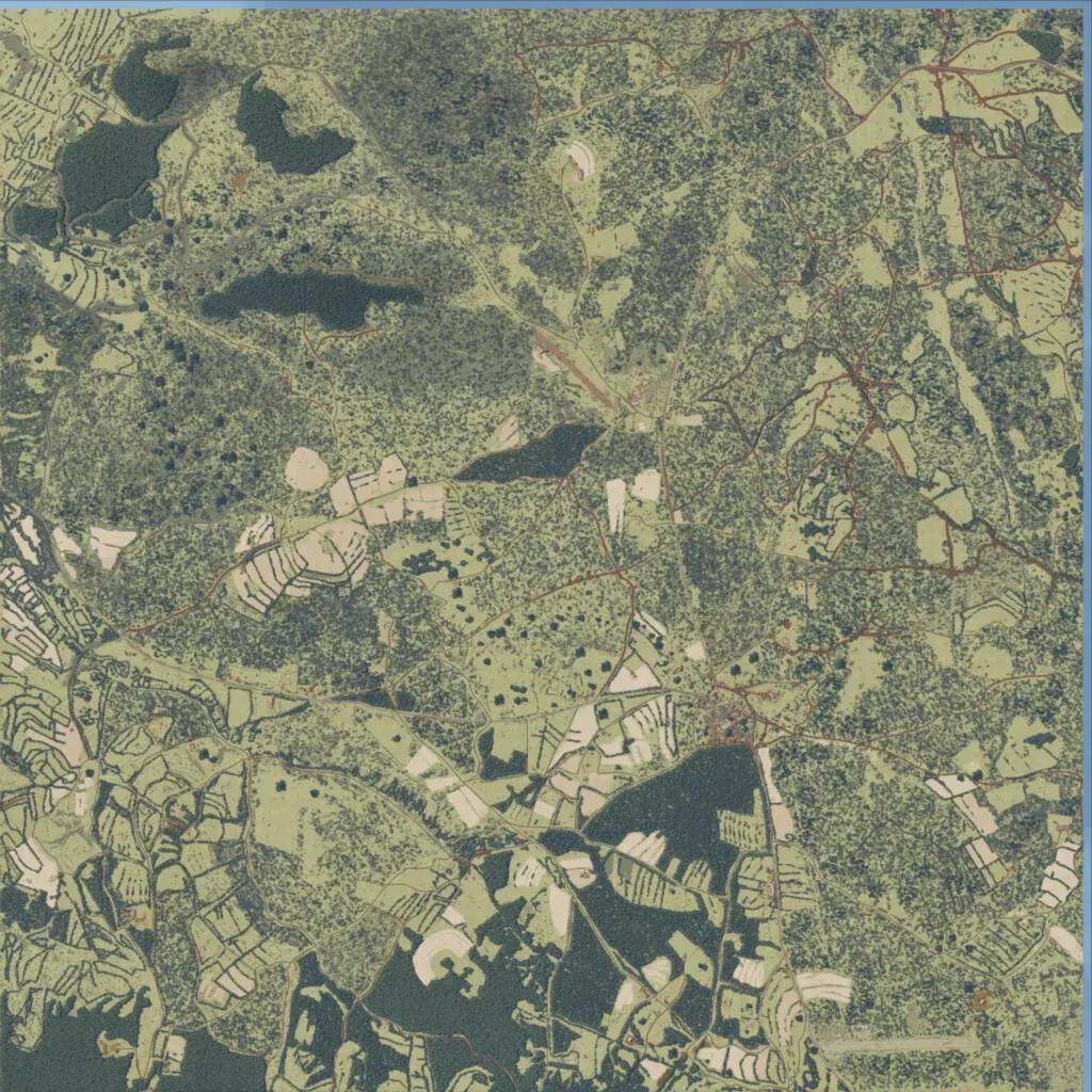
This 6.4 km map is mostly dense bush and woodland, broken by farm fields with tree-line rows. Elevation stays between 1130 and 1240 m, so the ground is gently rolling. About 138 km of mostly dirt roads link a town, an airfield, two RSF outposts and six ZANLA-named locations. It holds 328 buildings and 20 water bodies. The author describes it as a fictional Rhodesia–Mozambique border area. It suits patrols, ambushes and raids. No missing imagery or placeholder ground is visible.
