Riven Oblast
Flat 7 km farmland grid of tree lines and fields, small building clusters near the centre, no water. Plan operations on this 7.2 km Arma Reforger map in TacOps.
Map tiles updated
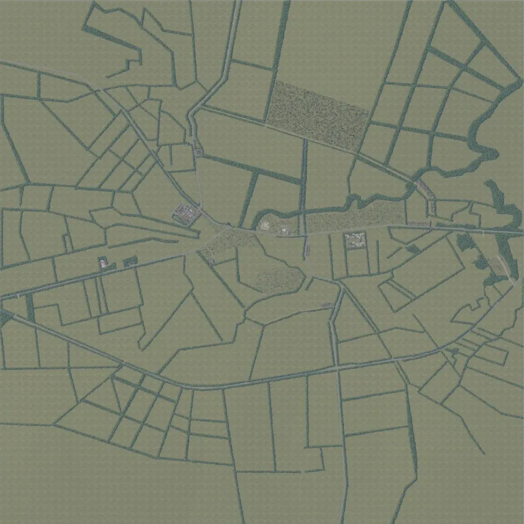
The map is about 7.2 km across, low farmland between 0 and 140 m elevation. Fields are divided by a dense grid of tree lines, with a few forest patches near the centre. About 317 buildings sit in small clusters along the central east-west road. There are 23 roads totalling 36 km and no lakes or water bodies. Many fields are plain grass texture with nothing placed. The author calls it a work in progress. It suits infantry fights across hedgerow lines.