Road to Glory
Rolling farmland with a riverside village strip, a grid of tree-belt fields and two wide tree-lined corridors. Plan operations on this 8.2 km Arma Reforger map in TacOps.
Map tiles updated
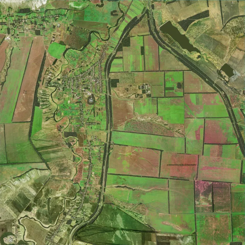
Mostly open farmland on rolling ground from 60 to 190 m, split into large fields by narrow tree belts. A winding river runs down the west side beside a long village strip of houses and gardens. Two wide tree-lined corridors leave the north edge, one curving south through the centre, one running southeast past a lake. The author places it in Donetsk Oblast, Ukraine, and calls it an early work in progress. Imagery covers the whole map; it suits combined-arms fights over open fields and village edges.