Rostov Oblast
Open farmland with tree lines, a winding river, wooded ravines and small villages; eastern fields sparsely detailed. Plan operations on this 7.9 km Arma Reforger map in TacOps.
Map tiles updated
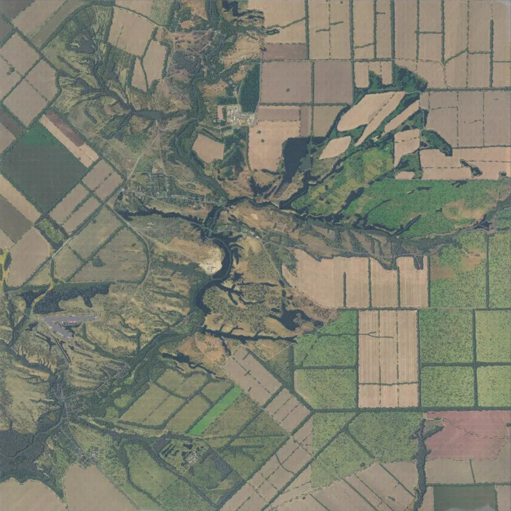
About 7.9 km square of farmland divided by tree lines, with a winding river and wooded ravines through the centre. Elevation runs from 20 to 240 m. About 1,095 buildings sit in villages and compounds, mostly in the west, southwest and north-centre, linked by roughly 150 km of roads. The east is largely open fields with little placed. The author calls it Rostov Oblast, Russia, and says only the south is finished. Suits mechanized or infantry operations over open ground, using the river and ravines for cover.