Vermont Radar
Dense forested hills cut by winding logging tracks, with a radar base and small scattered settlements. Plan operations on this 8.2 km Arma Reforger map in TacOps.
Map tiles updated
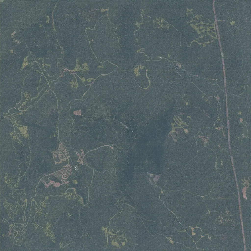
Densely forested hill country about 8 km across, rising from 450 m to 1,040 m. Narrow logging tracks wind through the trees, and a straight road runs north to south near the eastern edge. Buildings are scattered in small clearings, clustered most in the southwest. Named sites include Lyndonville AFS, East Haven Radar Base, Stanhope Border Checkpoint, Granby and Victory. Water is limited to small ponds. The author calls it an abstract recreation of East Mountain in Vermont. Dense cover suits infantry patrols, ambushes and small-unit raids.