Al-Anbar
Flat open desert with two crossing highways, a few small walled towns, and a dense grove east of center. Plan operations on this 10.2 km Arma Reforger map in TacOps.
Map tiles updated
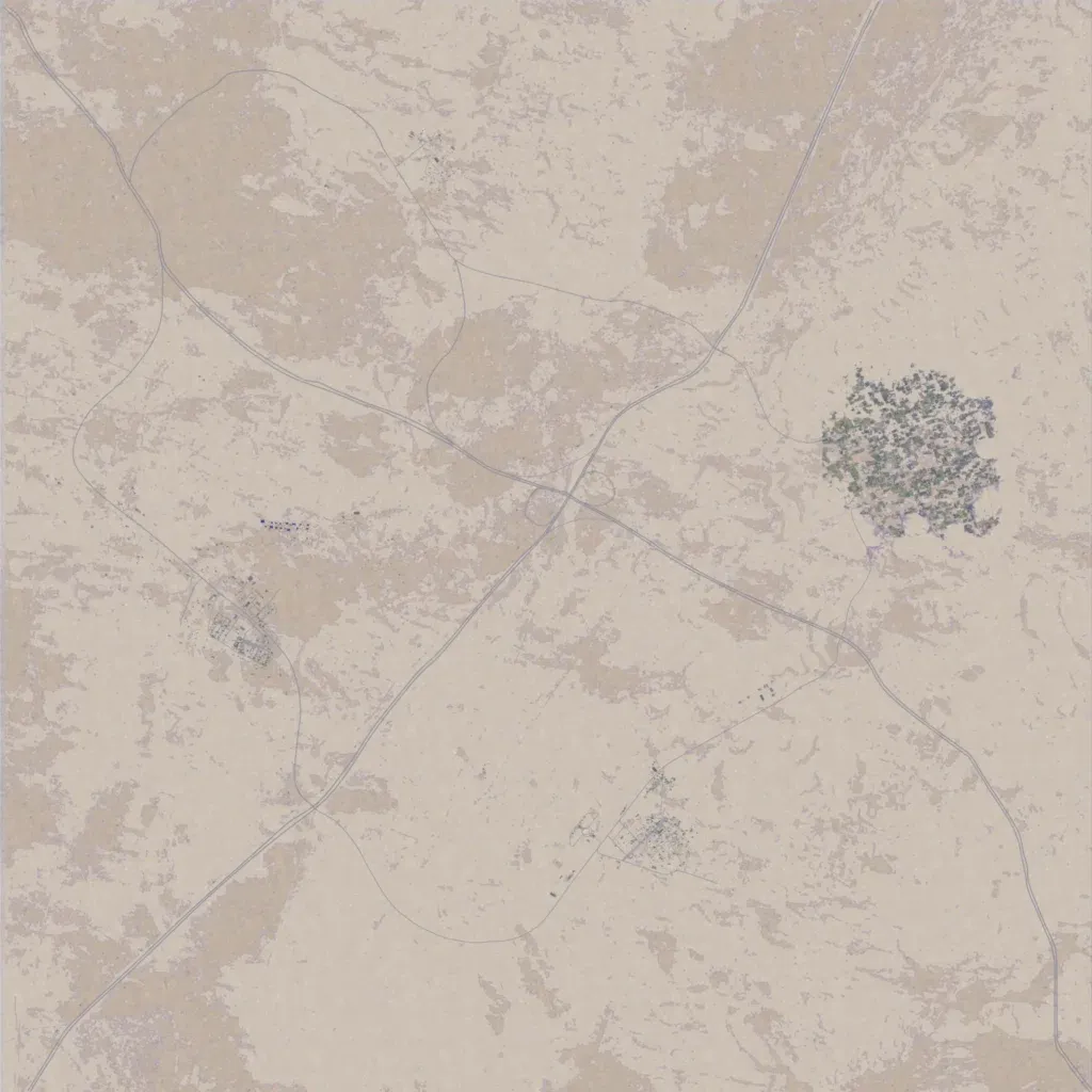
A 10 km map of flat open desert, 320 to 340 m high, with no water. Two highways cross at a central interchange, linked by a loop of smaller roads, about 112 km of road in all. Settlements are small: walled compounds in the southwest and south, a sparse cluster to the north, and a dense grove with buildings east of center. Most of the ground is bare sand with nothing placed, suiting vehicle patrols and convoy or checkpoint work along the highways. The author presents it as Iraq's Al-Anbar desert.
Map facts
- Game: Arma Reforger
- Size: 10.2 km, 11 by 11 grid squares of 1 km
- Made by ALOSH-99 (Workshop page)
Layers and modes
- Satellite imagery
- In-game map
- Topographic map details
- Roads
- Contour lines every 10 m
- Named places
- Hillshade
- Slope analysis
- Tree canopy
- Line-of-sight checks
- Water levels
- 3D terrain view (TacOps Pro)