Al Hadra
8 km map with a central town beside a north-south river, orchards in the valley and scrub-covered hills around it. Plan operations on this 8.2 km Arma Reforger map in TacOps.
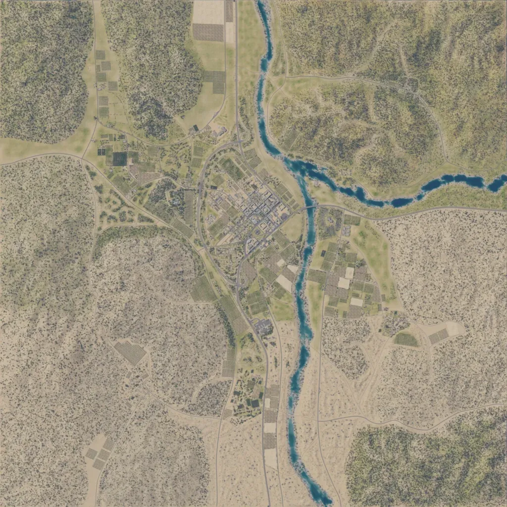
The author describes it as a Syrian environment. The 8 km map centres on a town west of a north-south river that branches east in the north-east. A second built-up area of walled compounds sits east of the river. Orchards and fields line the valley, and scrub-covered hills between 10 and 310 m fill the corners. About 190 km of roads and tracks link the town to the hills. Wide brush-covered hills with few buildings suit infantry and vehicle manoeuvre around an urban fight.
