Al Shabur Province
Open desert map about 12 km across, with a western coastline, a river crossing from the northeast, and a central lake. Plan operations on this 12.3 km Arma Reforger map in TacOps.
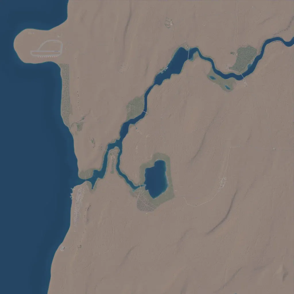
Most land is bare sand with low dunes; the east and south hold little beyond sparse shrubs and tracks. Sea lines the west side, and a river winds from the northeast to the coast past a central lake. Wooded oasis patches line the river and lake banks. The main town sits on the coast south of the river mouth, with an airfield on a northwestern peninsula. The author describes a large city, a military port, and several military and industrial sites. The open ground suits vehicle and air operations over long distances.
