Alpine Fortress
Steep alpine valleys around a central glacier, with lakes, switchback roads and small hamlets on a 10 km map. Plan operations on this 10 km Arma Reforger map in TacOps.
Map tiles updated
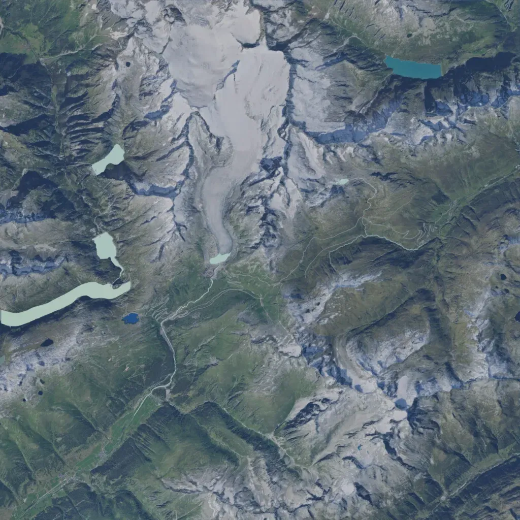
A 10 km alpine map rising from 460 m to 1,790 m, with a large glacier and snowfields in the north-centre. It has 447 buildings; named places include Fir Town, Forest Town, Glacier Hamlet, River Alp, two hotels, a quarry and a military site. About 65 km of roads with tight switchbacks run through the valleys, past several lakes. Much of the high snow and rock is empty. It suits mountain infantry operations. The author labels it a work in progress, with height and satellite data from Swiss geodata.
Map facts
- Game: Arma Reforger
- Size: 10 km, 10 by 10 grid squares of 1 km
- Made by Kexanone (Workshop page)
Layers and modes
- Satellite imagery
- In-game map
- Topographic map details
- Roads
- Contour lines every 10 m
- Named places
- Hillshade
- Slope analysis
- Tree canopy
- Line-of-sight checks
- Water levels
- 3D terrain view (TacOps Pro)