Ananuri Grey Zone
Small 2.6 km forest map with north-east grassland, a south-west military base and a south-east building cluster. Plan operations on this 2.6 km Arma Reforger map in TacOps.
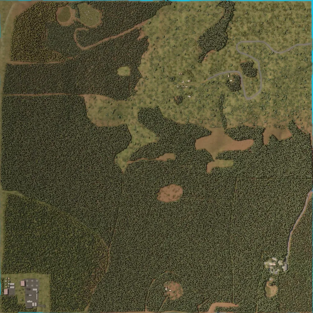
The map is mostly dense forest cut by straight dirt tracks, with open grassland and scattered bushes across the north-east. A paved road loops through the north-east past a few scattered buildings. A military base fills the south-west corner, and a small building cluster sits near the south-east edge. Overlays list 89 buildings, three roads totaling 5.1 km, four water bodies, and elevations of 40 to 120 m. The author places it on Georgia's northern edge as a contested area. At 2.6 km across, it suits small infantry patrols.
