Andriivka
Open farmland split by tree lines, with forest edges, a small hamlet and scattered field positions on 5 km terrain. Plan operations on this 5.1 km Arma Reforger map in TacOps.
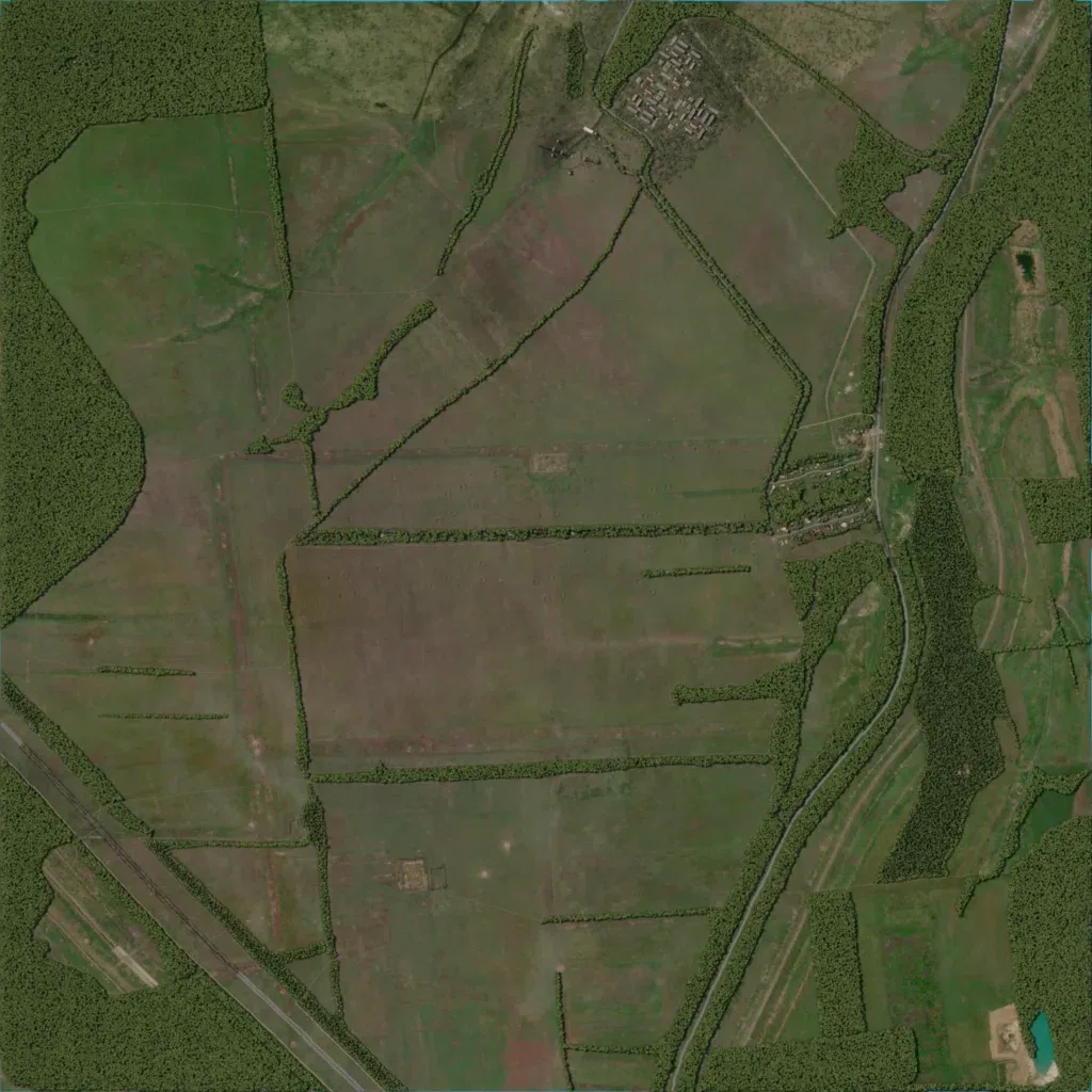
This 5 km map is mostly open fields split by tree lines, with forest on the west and east edges. Height ranges from 110 to 230 m, and no lakes or rivers are mapped. Its 235 buildings sit mainly in a housing block in the north and a hamlet by the eastern road. A road runs north-south down the east side. The centre holds large open fields with a few small enclosures. It suits infantry and armour attacks over open ground.
