Aneropia
Square 4.4 km map of forest and farmland bordered by sea, with a long inlet, small towns and 128 km of roads. Plan operations on this 4.4 km Arma Reforger map in TacOps.
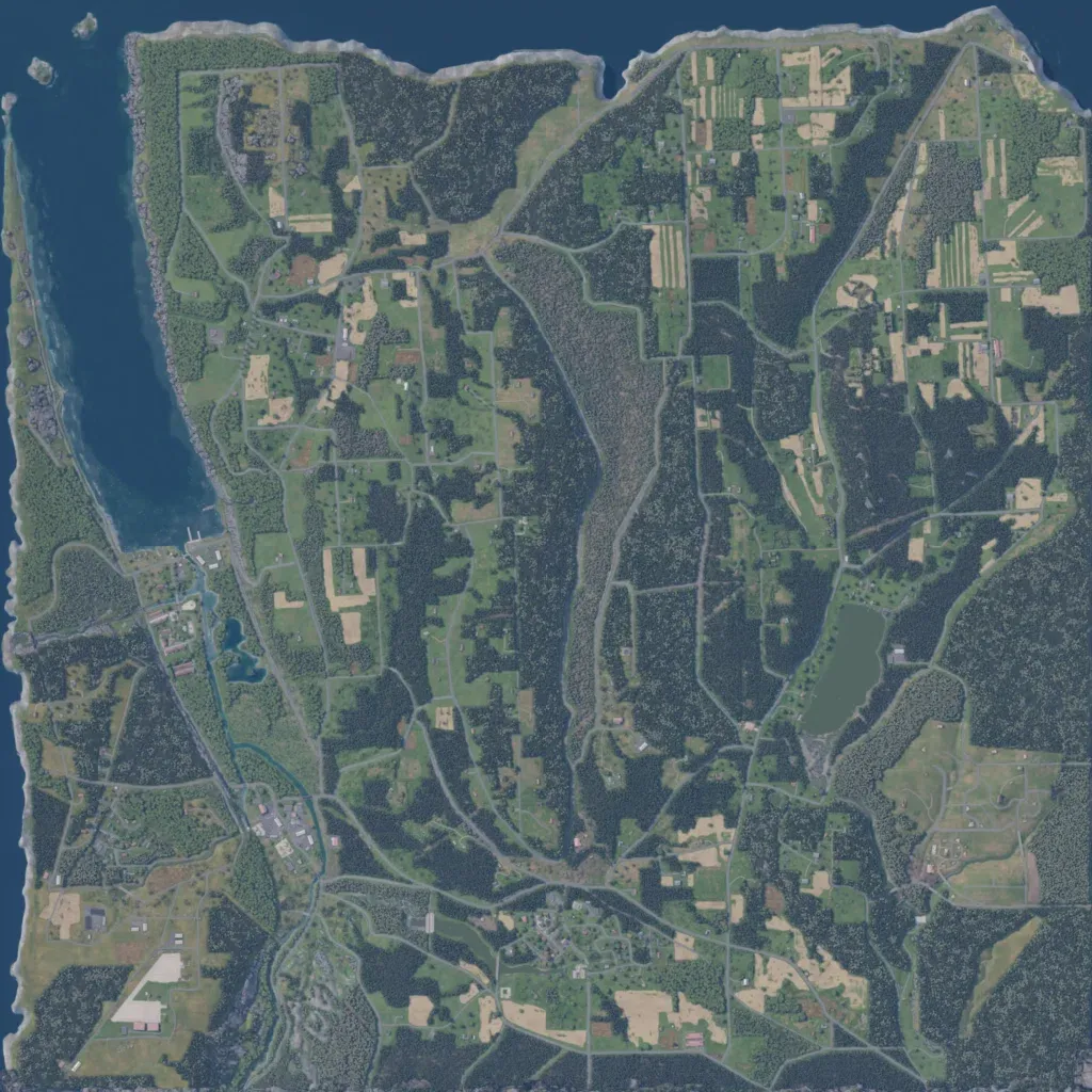
The 4.4 km square map is mostly forest and farmland, from 10 to 230 m elevation. Sea borders the north and west, a long inlet runs down the northwest, and a small lake lies in the east. About 128 km of roads link 1,137 buildings in towns such as Eprye, Zyrkova and Tisokovo. Dense forest runs north to south through the centre. Its forest and dispersed farms suit infantry and light vehicle operations. The author calls it a work in progress based on the Finger Lakes region.
