Argelès-sur-Mer Le Racou
Coastal 5.6 km map with a dense town, marina and beach in the north and forested hills to the south. Plan operations on this 5.6 km Arma Reforger map in TacOps.
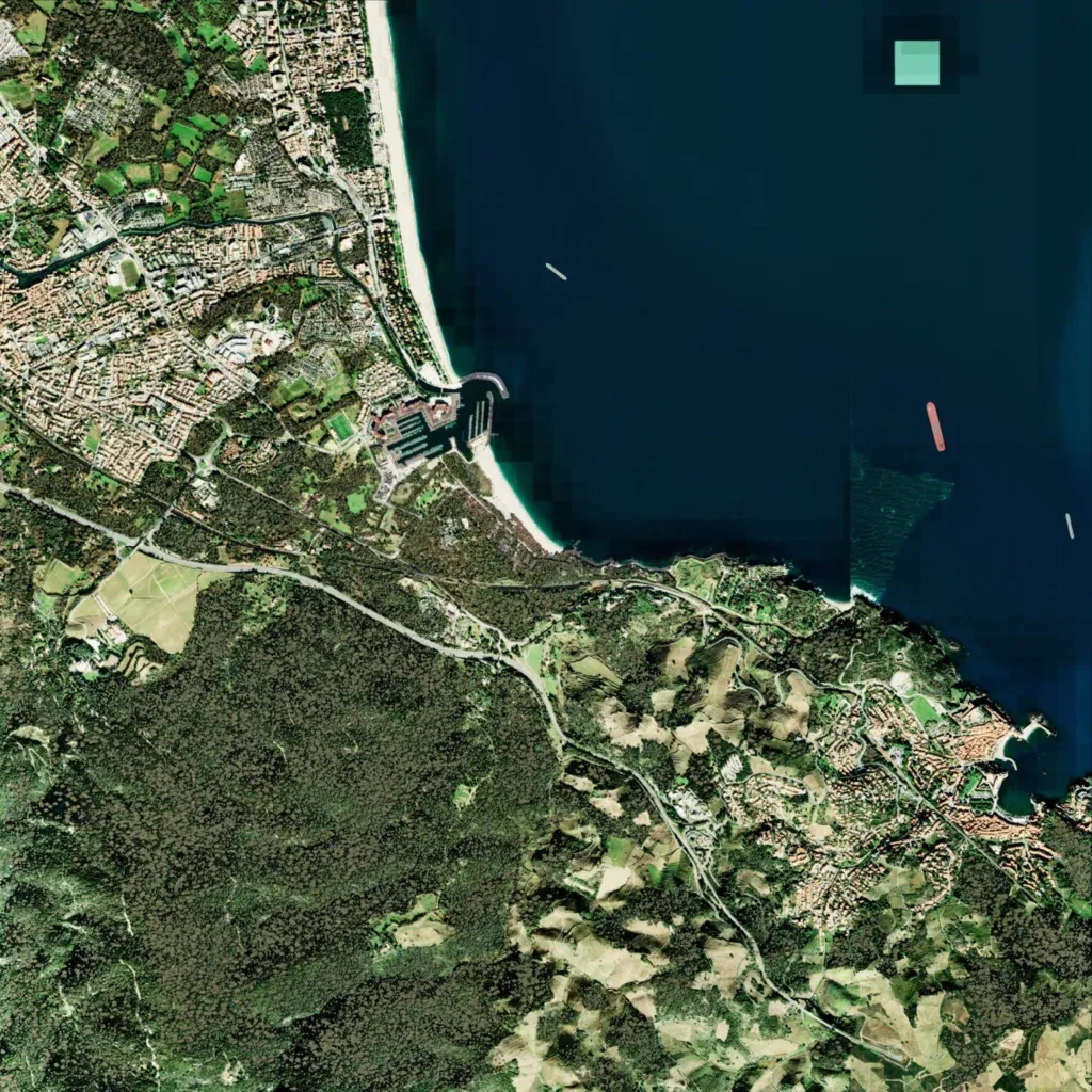
Sea covers the northeast, with a sandy beach running south to a marina mid-coast. A dense town fills the northwest; a smaller village with a harbour sits on the southeast coast. A main road runs from the west edge to the southeast. Forested hills up to 380 m cover the south and southwest. A square patch and tile seams mar the sea. The author says it recreates Argelès-sur-Mer in southern France and is unfinished. Suits urban combat, landings and woodland infantry operations.
