Armenhof
A 3.8 km square of farm fields, mixed forest and small towns, crossed by a winding road network. Plan operations on this 3.8 km Arma Reforger map in TacOps.
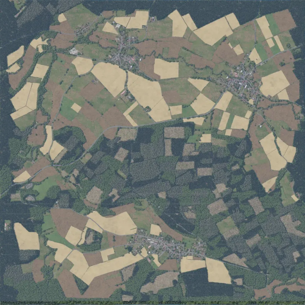
The author presents it as a real stretch of West German countryside between Fulda and the inner German border. The north is open patchwork farmland; the south-east is dense forest with logged clearings. Three towns sit in the north, north-east and south, plus a small north-western village and scattered farms. About 97 km of roads link them. Map data lists 39 water bodies, including 30 lakes. Ground imagery covers the whole map, with no empty areas. It suits armoured road defence and infantry fights through woods and towns.
