Badger Basin
Dry, forested ridges and river valleys on a 4.4 km map with northwest farmland and small military camps. Plan operations on this 4.4 km Arma Reforger map in TacOps.
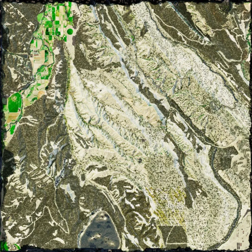
This 4.4 km map rises from 10 to 410 m across northwest-to-southeast ridges, with pale dry slopes and dense forest. Irrigated fields fill a northwestern river valley; a winding river runs down the east side. Named sites include Camp Carlisle, Cobalt AB, Poacher Point and Tail Tower; buildings total 331. A tent camp with medical tents sits beside a river. About 65 km of roads link them. It suits small-unit patrols and reconnaissance. The author describes it as post-apocalyptic high desert loosely based on the western USA.
