Ballista Bay 2.0
Forested hills split by a northwest-southeast water channel with two bridges, a pier compound and a village. Plan operations on this 4.1 km Arma Reforger map in TacOps.
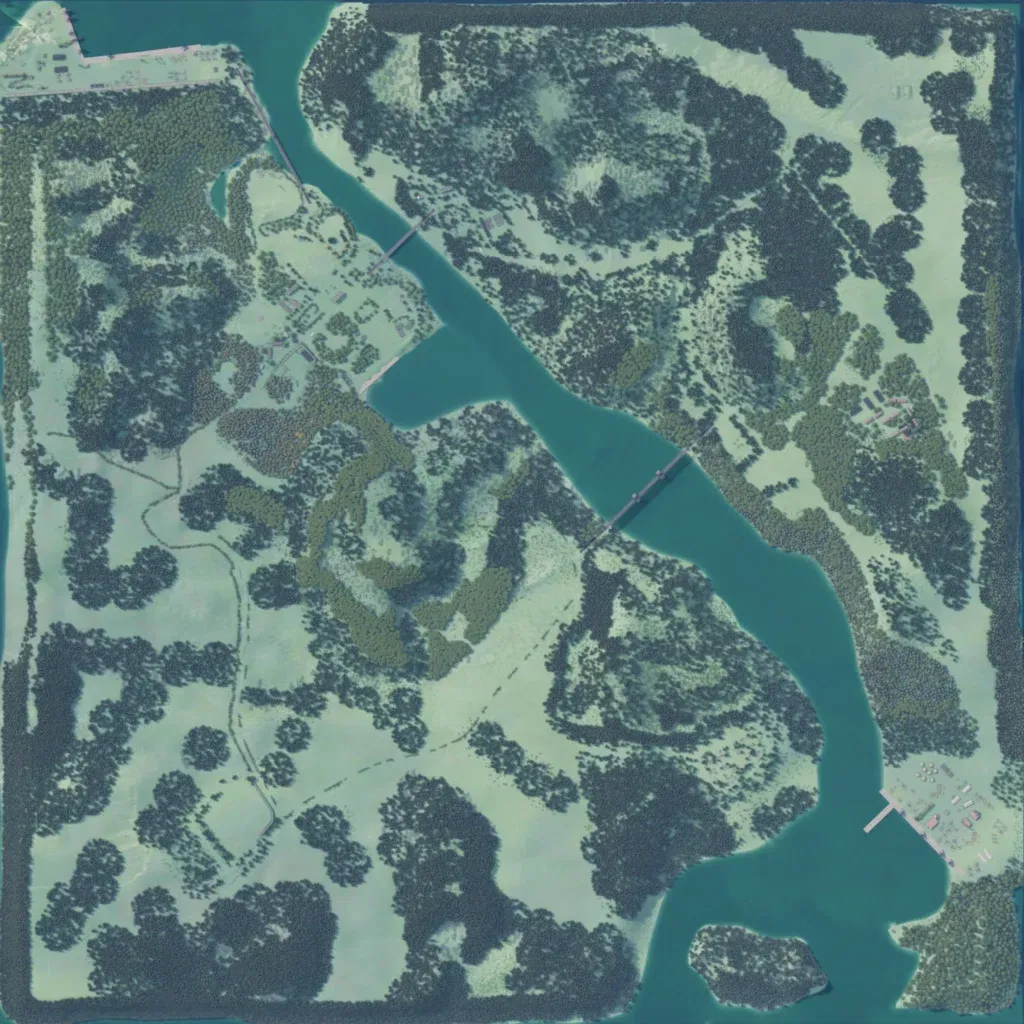
The 4.1 km square map is split by a water channel running northwest to southeast, crossed by two bridges. Ground rises from 10 to 260 m, mixing dense forest with wide grass fields that hold only scattered trees. The 482 buildings cluster in the southeast pier compound, the northwest corner, a west-shore village and a small eastern cluster. Roads total about 23 km; a small wooded island lies in the south. The author calls it a tropical peninsula for Conflict. It suits amphibious and river-crossing fights.
