Battle for Andriivka
8 km square of farmland with one central village, open fields split by treelines, and a network of minor roads. Plan operations on this 8.2 km Arma Reforger map in TacOps.
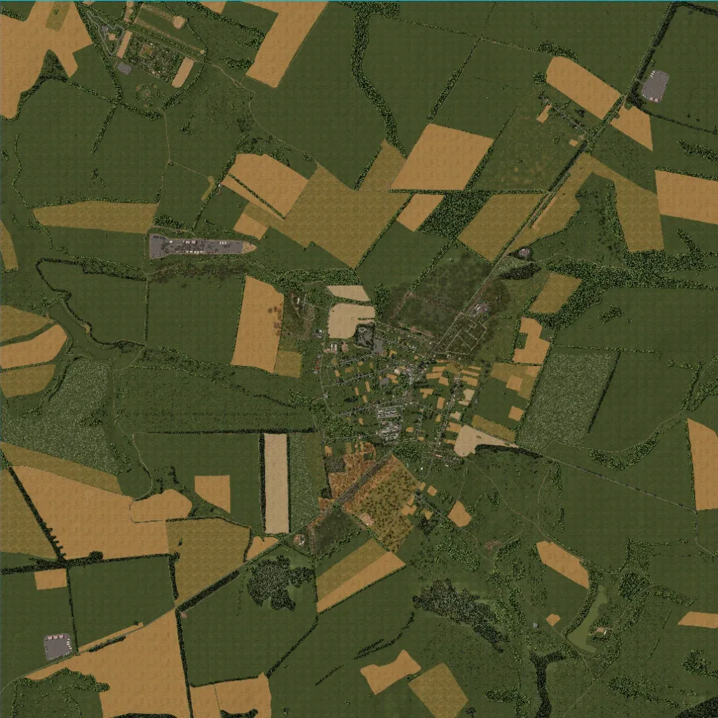
An 8 km square of farmland, 0 to 100 m in elevation, divided into crop fields and meadows by treelines. Most buildings sit in one central village; smaller compounds lie in the northwest, northeast and southwest. About 113 km of roads, mostly minor ones, link them. Water is limited to three small ponds. Many large fields hold only grass and hedges, leaving long open sightlines. The author calls it a 12-point capture map with event arenas in the top left. It suits mechanized attacks across open ground.
