Belleau Wood
12 km farmland map of crop fields, woods and small villages, with two airstrips and a long straight route. Plan operations on this 12 km Arma Reforger map in TacOps.
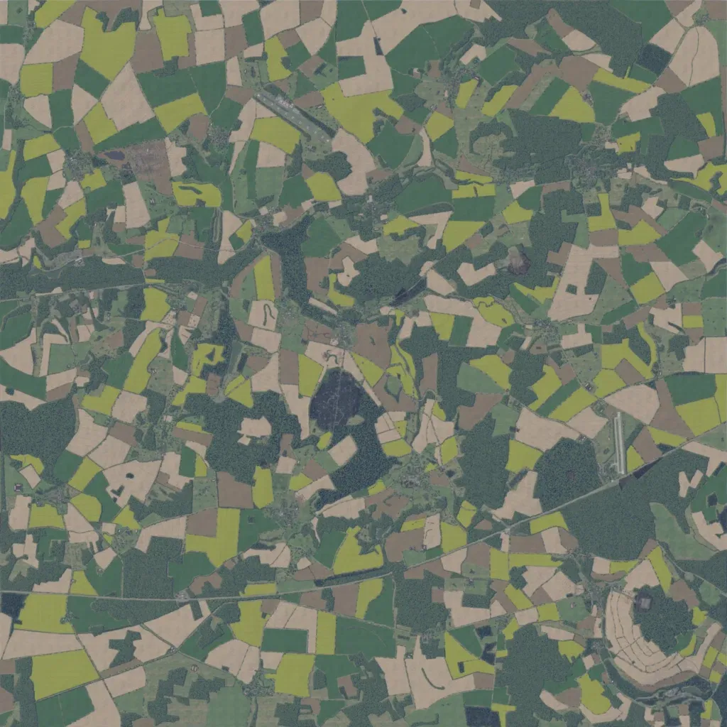
The 12 km square map is a patchwork of crop fields and woodland. Villages and farms include Belleau, Bouresches, Lucy, Torcy, Vaux and Marigny. Over 900 km of roads link them. Airstrips sit in the north-west and east, and a straight route crosses the south. A winding stream crosses the west, with scattered ponds and lakes. Imagery covers the whole map. Open fields and woods suit infantry and mechanised play. The author calls it the World War One battlefield of Belleau Wood, France, with border towns still unfinished.
