Bovington Training Area 2026
Forest-covered 3 km training ground with a central camp, dirt driving circuits and open fields at the edges. Plan operations on this 3.1 km Arma Reforger map in TacOps.
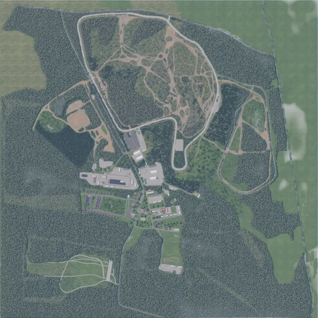
Mostly dense forest on low ground from 10 to 90 m, about 3 km square. A camp of barracks, sheds and hardstands sits in the centre. To the north a paved loop encloses dirt tank tracks; another track loop lies east. A grass field with tracks lies in the southwest. Open grass lines the east edge; ploughed farmland fills the northwest corner. Map data lists 36 lakes. It suits armoured driving and small infantry exercises. The author describes it as a vehicle driving area in Bovington, Dorset.
