Braemar
Highland valley around one small village, with river flats, conifer plantations and open heather hills. Plan operations on this 9.2 km Arma Reforger map in TacOps.
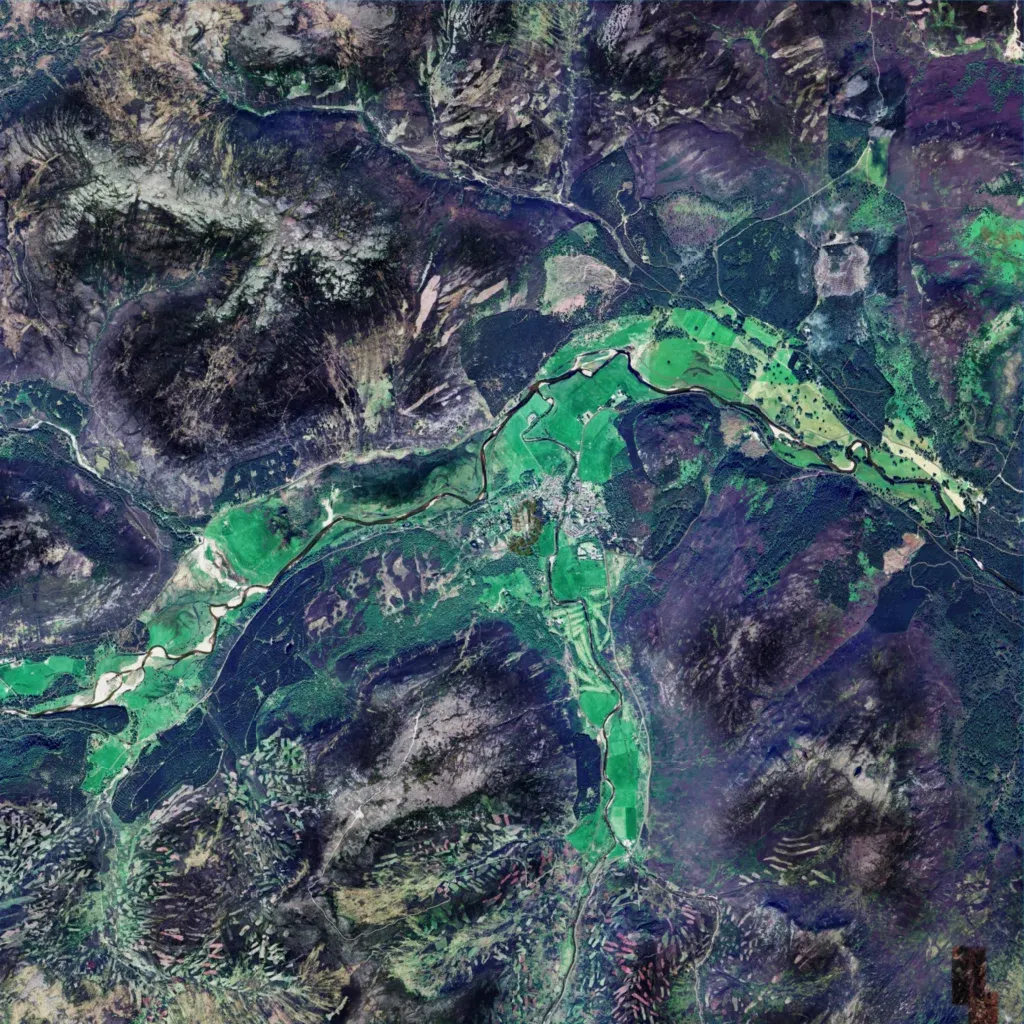
Mostly open heather hills and conifer plantations, with elevations from 0 to 540 m. A river runs southwest to northeast through green valley fields, past the single village in the centre. Data lists 54 buildings, 14 points of interest, two military, and 143 km of roads and tracks. A small dark patch sits in the southeast corner. The author calls it a work-in-progress Braemar, Scotland, with a fictional military base. Sparse buildings and long sightlines suit infantry, recon and light vehicle patrols.
