Camp Pendleton
Dry, rugged coastal hills about 10 km across with military compounds, MOUT sites, ranges and a beach airstrip. Plan operations on this 10.2 km Arma Reforger map in TacOps.
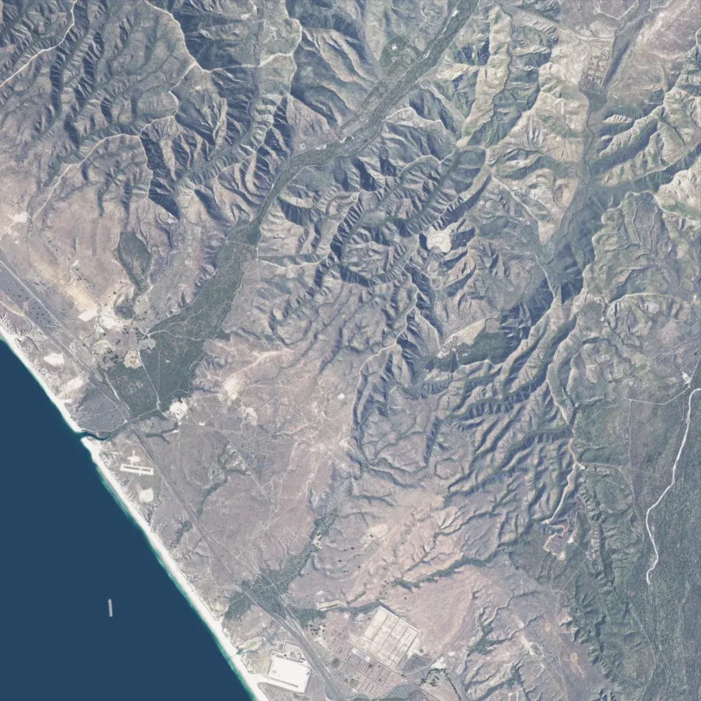
Ocean lines the southwest edge, with a beach, coastal highway and small airstrip. Inland, steep dry canyons and ridges rise to 350 m, greener in valley floors. About 2,160 buildings sit in base compounds and scattered sites. Named locations include MOUT sites, shoot houses and rifle ranges. 403 km of roads and tracks cross the hills; there are no lakes. The author built it for 15th MEU training, with a working Rifle Range modeled on USMC Table 1. Suits infantry training, close-quarters drills and coastal landings.
