Caprivi
Flat 8 km bushland split by marsh, river channels and lakes, with scattered buildings and military sites. Plan operations on this 8.2 km Arma Reforger map in TacOps.
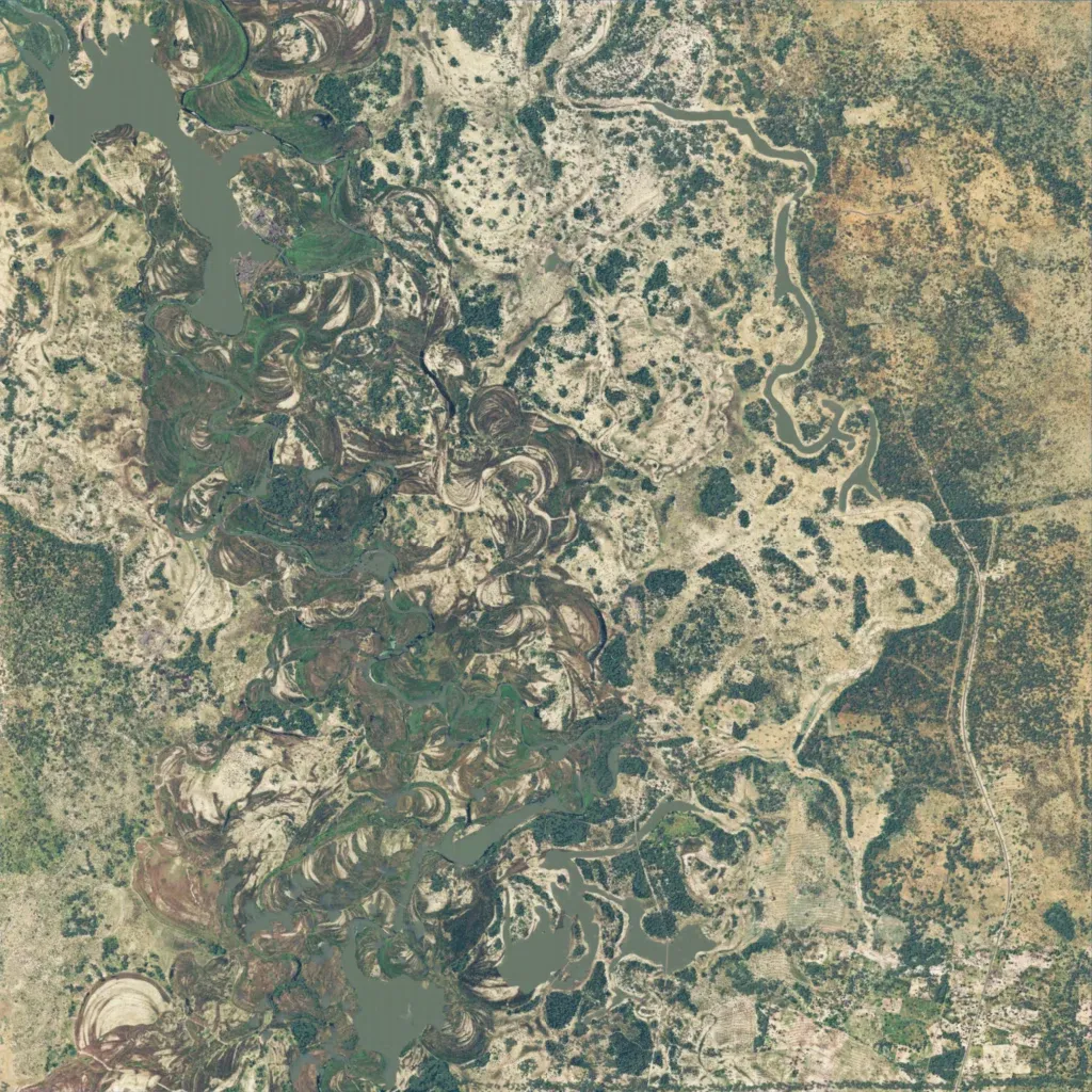
The 8.2 km square is flat, 940 to 1010 m, and fully covered by ground imagery. Marsh, river channels and lakes run north to south through the west and centre, with open bush and tree clumps to the east. About 102 km of roads include one running near the eastern edge. Points of interest include an airport, a military base, a sawmill and a farm among 1,319 buildings. The ground suits patrols and riverine bush fighting. The author calls it heavily work in progress for the Bushwar community.
