Cascadian Wilds
4.6 km forested mountain terrain with a central road-linked town, small outlying sites and about 25 km of roads. Plan operations on this 4.6 km Arma Reforger map in TacOps.
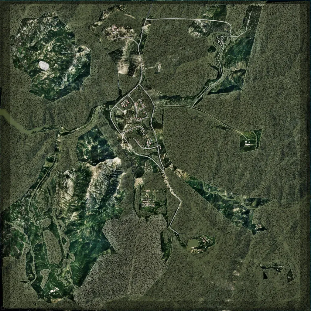
The 4.6 km map is mostly dense evergreen forest, with open rocky mountain ground in the northwest and southwest. Elevation ranges from 1,110 to 1,690 m. The main town sits in the centre on a road loop, with smaller building clusters to the north, northeast, east and south. The map lists 10 water bodies, including one lake. The east is largely roadless forest, and forest blocks end in hard polygon edges. It suits infantry operations. The author cites the Pacific Northwest as inspiration.
