Chernorus Kirovograd
Forest and farmland map, 8 km across, with a river, a southwest town, a northeast airfield and empty grass in the south. Plan operations on this 8.2 km Arma Reforger map in TacOps.
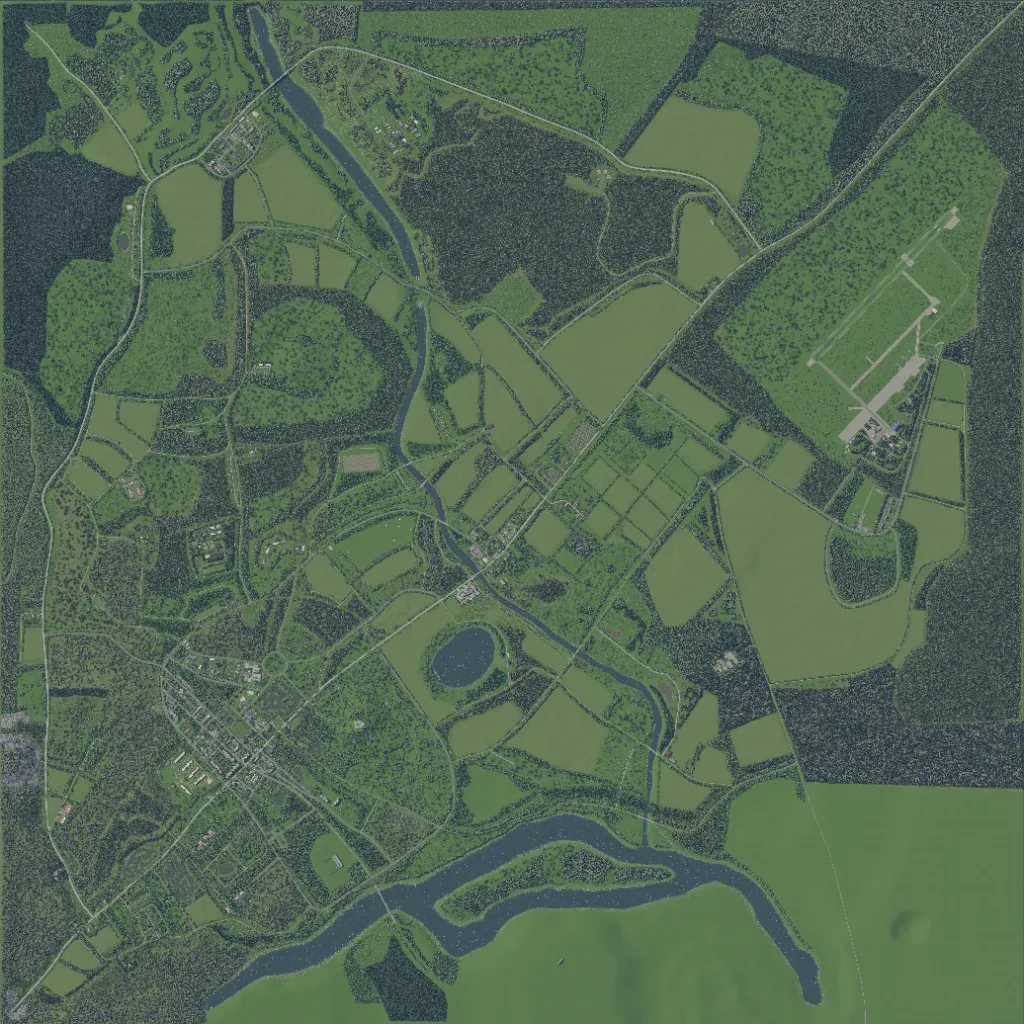
Forest and farm fields cover most of this 8.2 km map, with elevations of 10 to 120 m. The main town is in the southwest, a riverside village in the northwest, and an airfield in the northeast. A river runs south through the centre, past a round pond, into a wider river crossing the south. Roads total about 171 km. The south bank and southeast corner are flat, empty grass. The author says it is inspired by Chernarus and still in development. It suits combined infantry and vehicle operations.
