Chokar Island
Forested archipelago: a main island group ringed by many rocky islets, with dirt tracks and small villages. Plan operations on this 12.8 km Arma Reforger map in TacOps.
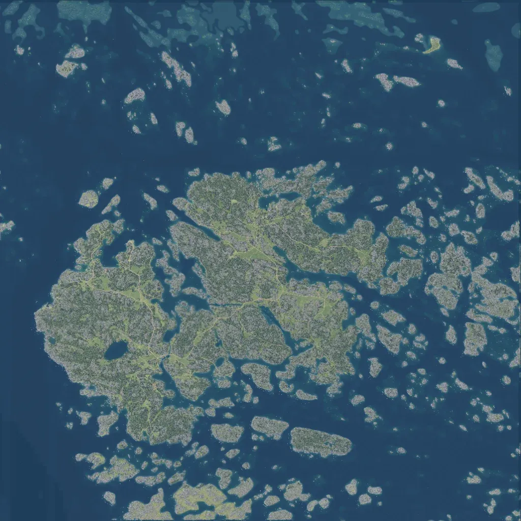
The author bases the roughly 12x12 km map on Kökar, an island in the Baltic Sea. Most of the 12.8 km world is sea, with a forested main island group west of centre and many rocky islets around it. Roads, mostly dirt tracks, total 115 km and link villages such as Karlby, Estholm and Oeverboda, plus harbours and a coastal fort. Terrain is low, under about 30 m, with lakes and open fields among the trees. Imagery covers all land with no blank areas; it suits infantry and boat operations.
