Coalition Islands
Scattered forested islands with small towns, an atoll airstrip in the southeast, and wide stretches of open sea. Plan operations on this 8.3 km Arma Reforger map in TacOps.
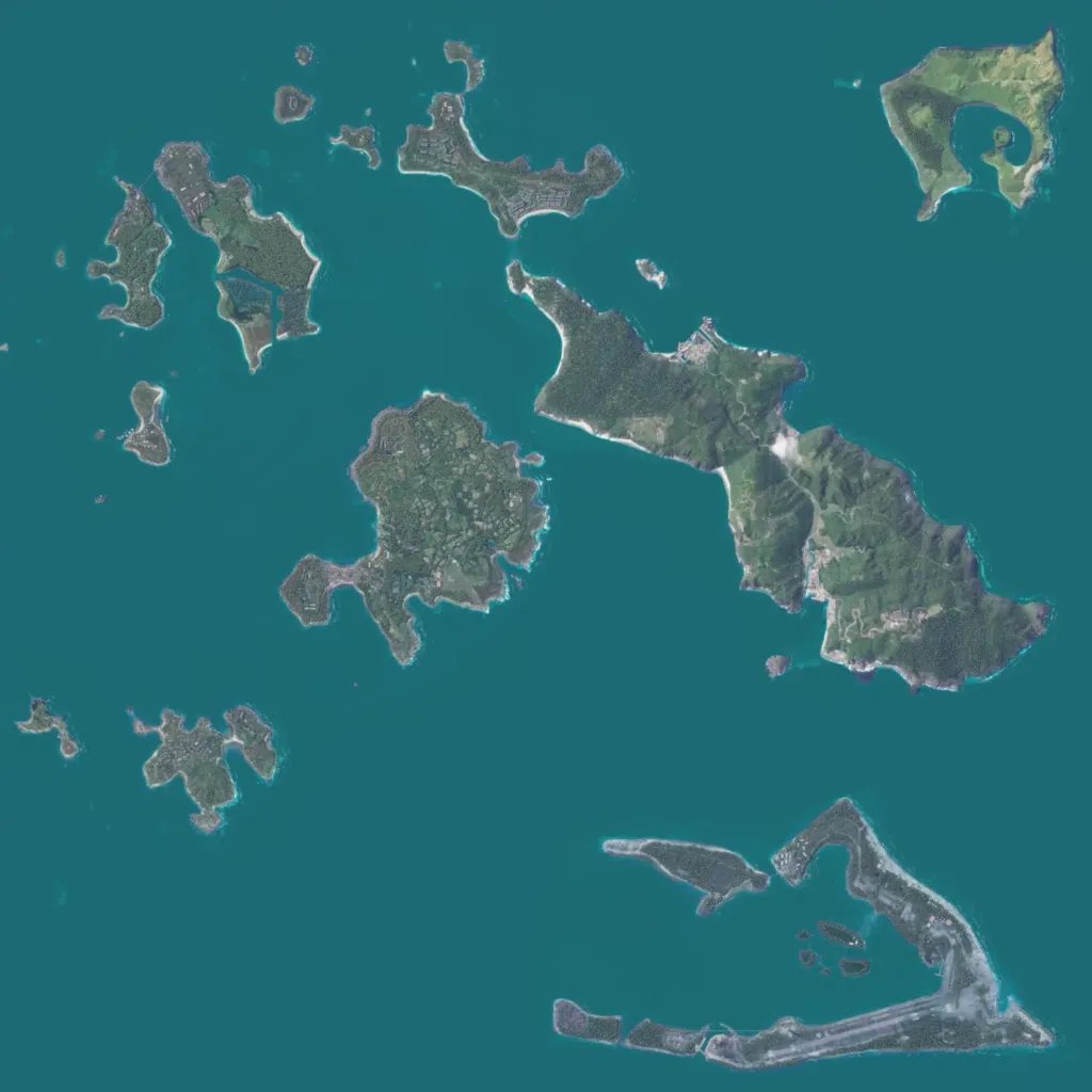
An 8.3 km square of sea holds scattered forested islands, the largest a long, hilly island in the east. A crescent atoll in the southeast carries a long airstrip, and the rounded central island is covered in small walled fields and houses. Map labels include Hugh Town, St Martins, Gugh and Wake Island, with about 1,700 buildings, about 66 km of roads and 49 military points. Wide water gaps separate the islands, suiting amphibious, helicopter and island-hopping operations. The author calls it an unfinished work in progress.
