D-Day
About 3 km coastal map with a wide sandy beach, a town behind it, and farm fields inland; the northern half is sea. Plan operations on this 3.1 km Arma Reforger map in TacOps.
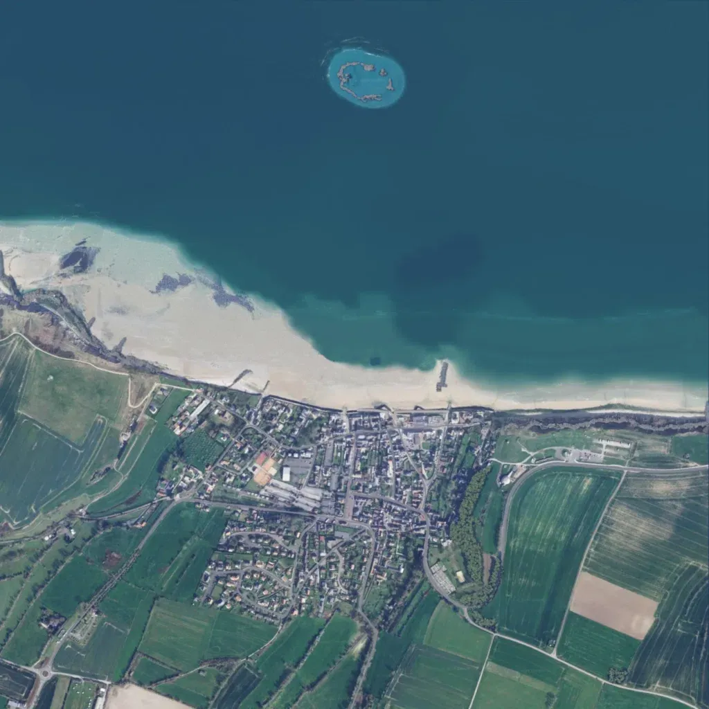
The northern half of this 3 km square is open sea, with a small reef-ringed island offshore to the north. A broad sandy beach runs along the coast, with cliffs at its western end. Behind the beach, a dense town fills the centre-south, surrounded by farm fields split by tree lines. The map data lists only 58 buildings, 16 roads totalling about 10.9 km, and elevations from 10 to 50 m. The author calls it an unfinished work in progress with the town incomplete. It suits amphibious landing and beach assault scenarios.
