DubnoUkraine
10 km farmland, 10–360 m elevation, with an airstrip in the north, few buildings, and a winding route across the middle. Plan operations on this 10.2 km Arma Reforger map in TacOps.
Map tiles updated
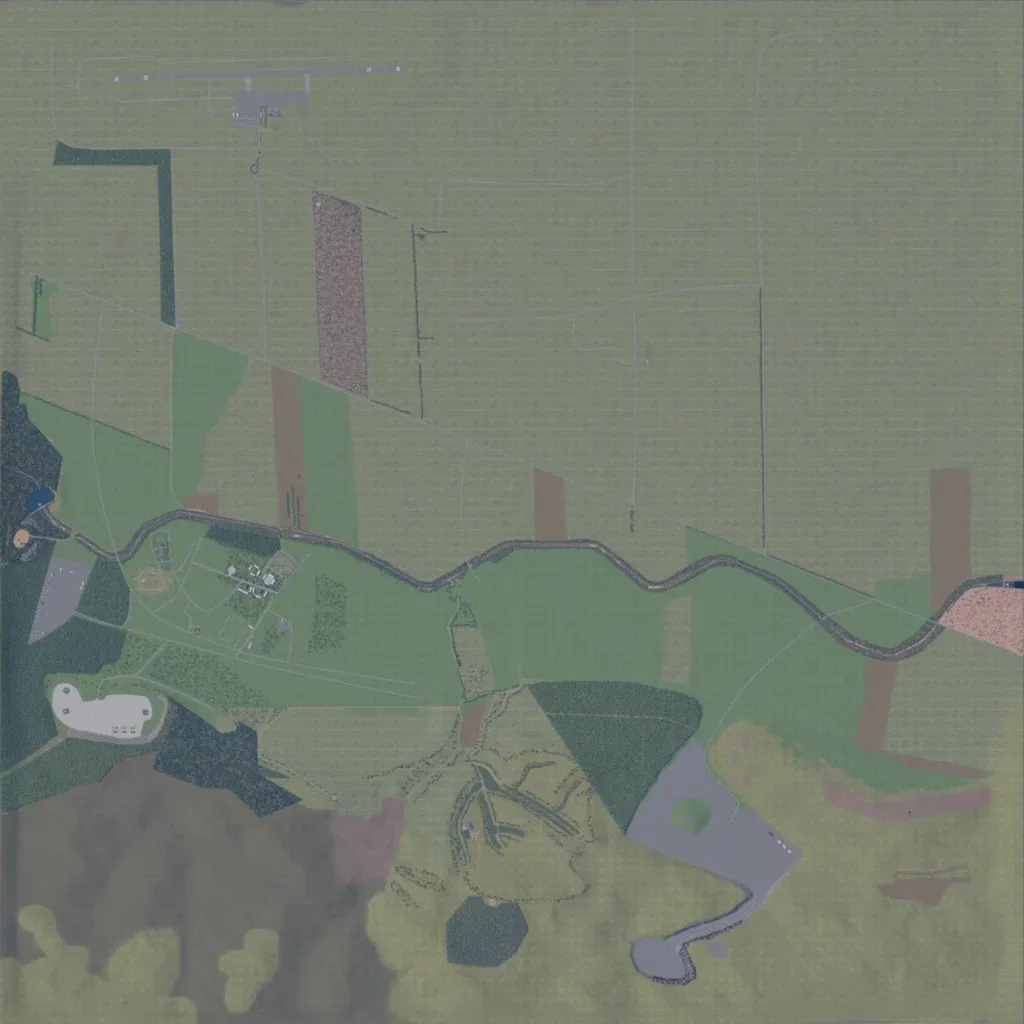
Open fields cover most of this 10 km map, with forest blocks in the west. Elevation spans 10 to 360 m. An airstrip sits in the north, and a winding line runs west to east across the centre. Buildings are few: a small compound in the west and paved lots in the west and southeast. The road overlay lists 82 segments totalling about 87 km. Much of the north is empty grassland, and the southwest shows blotchy placeholder-like ground. It suits open-field vehicle and air operations rather than urban fighting.
Map facts
- Game: Arma Reforger
- Size: 10.2 km, 11 by 11 grid squares of 1 km
- Made by Sigmaonthewall14 (Workshop page)
Layers and modes
- Satellite imagery
- In-game map
- Roads
- Contour lines every 10 m
- Named places
- Hillshade
- Slope analysis
- Tree canopy
- Line-of-sight checks
- Water levels
- 3D terrain view (TacOps Pro)