Dvojvesnicky Haj
Flat 4 km farmland with two villages, open fields and large forests in the west and north. Plan operations on this 4.1 km Arma Reforger map in TacOps.
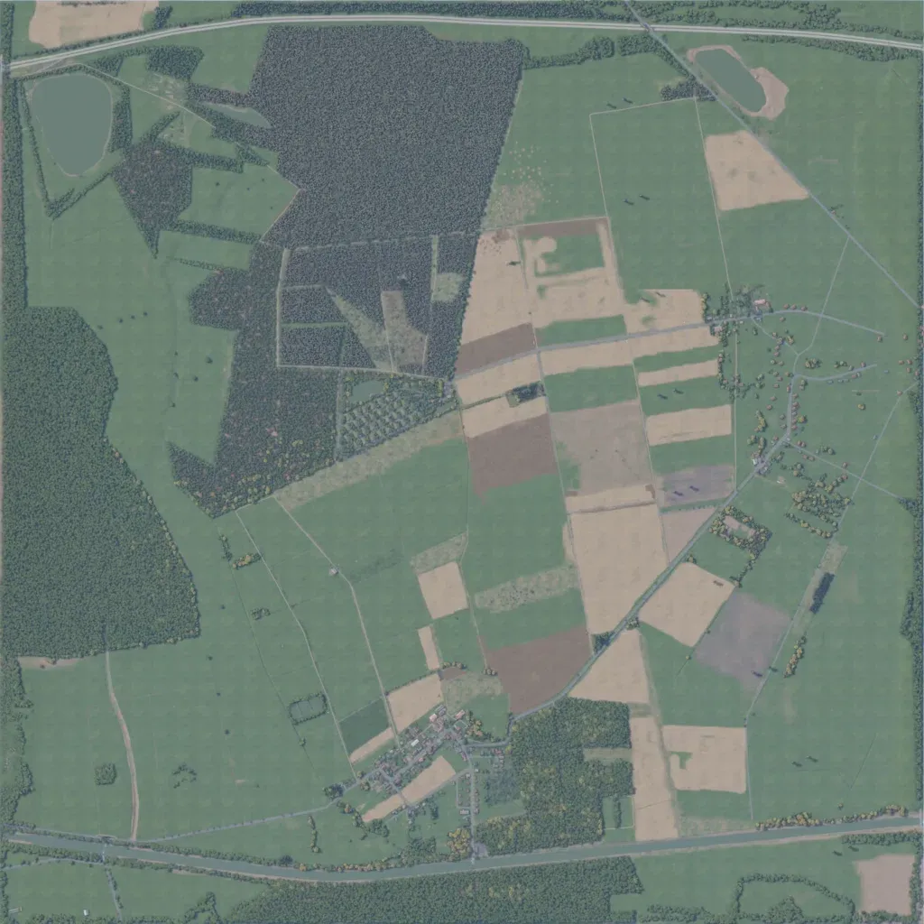
This flat 4 km map, 40 to 80 m in elevation, is mostly open grass and crop fields. Dense forest covers the western edge and a block north of centre. A village sits in the south-centre and a looser one spreads along roads in the east. Main roads run along the north and south edges, with tracks across the fields. Ponds lie in the northwest and northeast. The author calls it a village on the Iron Curtain. Wide open ground between forest edges and villages suits mechanized and infantry attacks.
