East Timor
Coastal terrain with dense northern forest, central farmland, and a wide river flat across the south. Plan operations on this 7.2 km Arma Reforger map in TacOps.
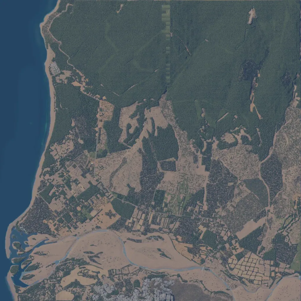
The author titles it East Timor; developed by AustralianOperator with FAL and KIOK. A 7.2 km square with sea along the west coast and dense forest over most of the north. The centre is fields and tree plots dotted with buildings, with a grey built-up area at the south edge. A wide bare river flat runs east to west across the south into a coastal estuary. Roads total about 62 km. A strip of square light-green patches cuts through the northern forest. Suits infantry patrols through jungle and farmland.
