East vs. West - Iron Curtain
Small wooded, hilly terrain split by a diagonal cleared corridor, with hamlets, fields, compounds and a southern lake. Plan operations on this 4.6 km Arma Reforger map in TacOps.
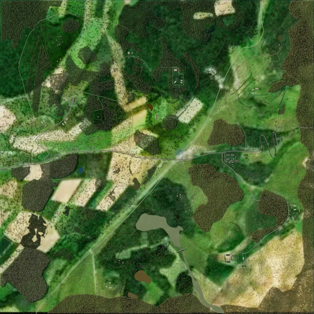
This 4.6 km map is mostly forest and grassland on hills of 120–480 m, with fields in the west. A straight cleared strip crosses the map diagonally. Its 422 buildings form small hamlets and compounds, including Lil Moscow, Geisterdorf, Sawmill and Factory. About 53 km of roads include an east–west road through the centre. Of 11 lakes, most are ponds; the largest, in the south, feeds a stream. The author says it depicts East and West German areas and the Inner German Border. It suits small infantry operations.
